IMAGES TAKEN NEAR TO
Fairfield Rise, GUILDFORD, GU2 8DG
Introduction
This page details the photographs taken nearby to Fairfield Rise, GU2 8DG by members of the Geograph project.
The Geograph project started in 2005 with the aim of publishing, organising and preserving representative images for every square kilometre of Great Britain, Ireland and the Isle of Man.

There are currently over 7.5m images from over14,400 individuals and you can help contribute to the project by visiting https://www.geograph.org.uk
Image Map
Images are licensed for reuse under creativecommons.org/licenses/by-sa/2.0
Notes
- Clicking on the map will re-center to the selected point.
- The higher the marker number, the further away the image location is from the centre of the postcode.
Image Listing (37 Images Found)
Images are licensed for reuse under creativecommons.org/licenses/by-sa/2.0
Image
Details
Distance
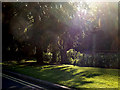
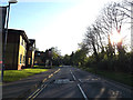
2
Path from Stag Hill campus to Egerton Road
Image: © Basher Eyre
Taken: 24 Aug 2010
0.17 miles
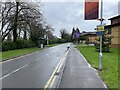
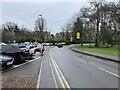
3
Surrey University access road
The main access road running through the campus.
Image: © Alan Hunt
Taken: 12 Mar 2016
0.17 miles
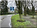
4
Railway passes Stag Hill Campus
At The University of Surrey
Image: © Geographer
Taken: 15 Apr 2014
0.17 miles
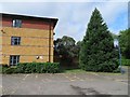
7
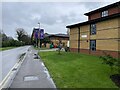
Twyford Court
Student accommodation on Perimeter Road.
Image: © Mr Ignavy
Taken: 13 Feb 2024
0.18 miles
9
Perimeter Road on Stag Hill Campus
Looking towards the entrance at The University of Surrey
Image: © Geographer
Taken: 15 Apr 2014
0.19 miles