
IMAGES TAKEN NEAR TO
Henley Common, HASLEMERE, GU27 3HE
Introduction
This page details the photographs taken nearby to Henley Common, GU27 3HE by members of the Geograph project.
The Geograph project started in 2005 with the aim of publishing, organising and preserving representative images for every square kilometre of Great Britain, Ireland and the Isle of Man.

There are currently over 7.5m images from over14,400 individuals and you can help contribute to the project by visiting https://www.geograph.org.uk
Image Map
Images are licensed for reuse under creativecommons.org/licenses/by-sa/2.0
Notes
- Clicking on the map will re-center to the selected point.
- The higher the marker number, the further away the image location is from the centre of the postcode.
Image Listing (7 Images Found)
Images are licensed for reuse under creativecommons.org/licenses/by-sa/2.0
Image
Details
Distance
2
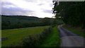
Footpath on the southern edge of Birchhill Copse
Telegraph Hill is ahead.
Image: © Shazz
Taken: 13 Sep 2009
0.05 miles
3
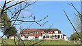
Large house SE of Upper Lodge
This was the clearest shot I could get. The map labels this plot as "Yew Tree Cottage", but I'm a bit doubtful about that. It doesn't sound right for a property of this size.
Image: © Ian Hawfinch
Taken: 16 Apr 2022
0.07 miles
4
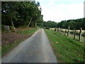
Private road and footpath alongside Birchill Copse
Image: © Dave Spicer
Taken: 11 Sep 2011
0.07 miles
5
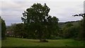
Splendid old oak
The field is between Cavalry Quarters and Northpark Copse near Henley.
Image: © Shazz
Taken: 13 Sep 2009
0.21 miles
6
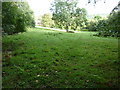
Stand alone Oak by Upper Lodge
The lodge is just visible in the sunlight on the left.
Image: © Dave Spicer
Taken: 11 Sep 2011
0.22 miles
7
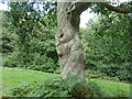
Oak near Upper Lodge
'I've stood here for six years waiting to appear on the Geograph discussions page' for facial recogniton.
Image: © Dave Spicer
Taken: 11 Sep 2011
0.24 miles