
IMAGES TAKEN NEAR TO
Slade Road, WOKING, GU24 0PE
Introduction
This page details the photographs taken nearby to Slade Road, GU24 0PE by members of the Geograph project.
The Geograph project started in 2005 with the aim of publishing, organising and preserving representative images for every square kilometre of Great Britain, Ireland and the Isle of Man.

There are currently over 7.5m images from over14,400 individuals and you can help contribute to the project by visiting https://www.geograph.org.uk
Image Map
Images are licensed for reuse under creativecommons.org/licenses/by-sa/2.0
Notes
- Clicking on the map will re-center to the selected point.
- The higher the marker number, the further away the image location is from the centre of the postcode.
Image Listing (92 Images Found)
Images are licensed for reuse under creativecommons.org/licenses/by-sa/2.0
Image
Details
Distance
1
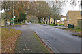
Billesden Road, Pirbright
The main road through the Army housing development near the Pirbright Barracks. This road used to be called Brunswick Road when the estate was built but the name was transferred to the new road south of the estate in the 1980s, this road being renamed Billesden Road at the time.
Image: © Alan Hunt
Taken: 7 Dec 2015
0.05 miles
3
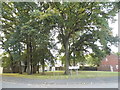
Trees on the corner of Slade Road and Billesden Road
Image: © David Howard
Taken: 9 Oct 2016
0.06 miles
5
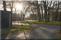
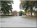
Slade Road, Pirbright
The junction between Slade Road and Billesden Road in the Army housing estate to the east of the Pirbright Barracks.
Image: © Alan Hunt
Taken: 7 Dec 2015
0.07 miles
6
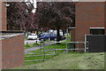
Slade Road
Slade Road in the MOD housing estate to the east of the Alexander Barracks near Pirbright.
Image: © Alan Hunt
Taken: 25 May 2015
0.08 miles
7
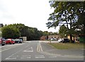
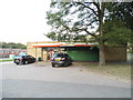
Beech Grove, Pirbright
There's a Spar shop under the tree (see separate photo).
Image: © David Howard
Taken: 9 Oct 2016
0.09 miles
9
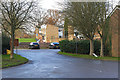
Herons Way, Pirbright
One of the closes off Brunswick Road in the Army housing estate near the Pirbright Barracks.
Image: © Alan Hunt
Taken: 7 Dec 2015
0.09 miles
10
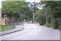
Pirbright Camp entrance
The entrance to Pirbright Camp, looking west into the camp. Pirbright is now home to one of the four Army Training Regiments: it trains recruits for The Household Cavalry, The Royal Logistic Corps, the Royal Electrical and Mechanical Engineers and the Royal Artillery. It was formerly home to the Guards and also the Gurkhas. Until a few years ago it was possible for civilians to drive straight through the camp from Brookwood to Deepcut but with the increased need for security entry to the camp is no longer permitted.
Image: © Ron Strutt
Taken: 28 Sep 2005
0.12 miles