IMAGES TAKEN NEAR TO
Claremont Avenue, WOKING, GU22 7SF
Introduction
This page details the photographs taken nearby to Claremont Avenue, GU22 7SF by members of the Geograph project.
The Geograph project started in 2005 with the aim of publishing, organising and preserving representative images for every square kilometre of Great Britain, Ireland and the Isle of Man.

There are currently over 7.5m images from over14,400 individuals and you can help contribute to the project by visiting https://www.geograph.org.uk
Image Map
Images are licensed for reuse under creativecommons.org/licenses/by-sa/2.0
Notes
- Clicking on the map will re-center to the selected point.
- The higher the marker number, the further away the image location is from the centre of the postcode.
Image Listing (83 Images Found)
Images are licensed for reuse under creativecommons.org/licenses/by-sa/2.0
Image
Details
Distance
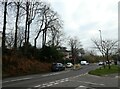
3
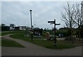
Signpost in Woking Park
Also see https://en.wikipedia.org/wiki/Woking_Park
Image: © Basher Eyre
Taken: 21 Dec 2021
0.09 miles
6

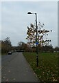
Hoe Valley flood relief scheme
The large area of disturbed ground around the entrance road to Woking Park, now being landscaped with a small pond and tree planting.
Image: © Alan Hunt
Taken: 14 Mar 2012
0.10 miles
8
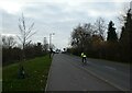
Looking from Wych Hill Lane into Turnoak Avenue
Image: © Basher Eyre
Taken: 21 Dec 2021
0.11 miles
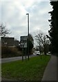
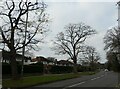
9
Junction of Turnoak Avenue and Wych Hill Lane
Image: © Basher Eyre
Taken: 21 Dec 2021
0.11 miles
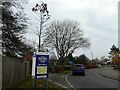
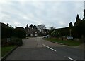
10
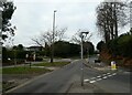
Looking from Claremont Avenue into Wych Hill Lane
Image: © Basher Eyre
Taken: 21 Dec 2021
0.11 miles