IMAGES TAKEN NEAR TO
Ockenden Road, WOKING, GU22 7LX
Introduction
This page details the photographs taken nearby to Ockenden Road, GU22 7LX by members of the Geograph project.
The Geograph project started in 2005 with the aim of publishing, organising and preserving representative images for every square kilometre of Great Britain, Ireland and the Isle of Man.

There are currently over 7.5m images from over14,400 individuals and you can help contribute to the project by visiting https://www.geograph.org.uk
Image Map
Images are licensed for reuse under creativecommons.org/licenses/by-sa/2.0
Notes
- Clicking on the map will re-center to the selected point.
- The higher the marker number, the further away the image location is from the centre of the postcode.
Image Listing (94 Images Found)
Images are licensed for reuse under creativecommons.org/licenses/by-sa/2.0
Image
Details
Distance
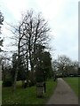
4
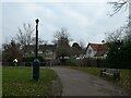
Path running parallel in Woking Park to White Rose Lane
Image: © Basher Eyre
Taken: 21 Dec 2021
0.08 miles
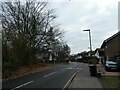
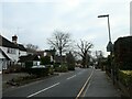
7
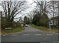
Looking from White Rose Lane into Wendela Close
Image: © Basher Eyre
Taken: 21 Dec 2021
0.10 miles
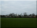
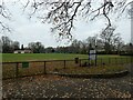
8
Woking Park
The path through the park heading towards White Rose Lane and the playing field.
Image: © Alan Hunt
Taken: 14 Mar 2012
0.10 miles
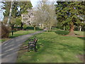
10
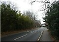
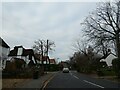
Looking east-southeast in White Rose Lane
Image: © Basher Eyre
Taken: 21 Dec 2021
0.11 miles