IMAGES TAKEN NEAR TO
Westwood Road, WINDLESHAM, GU20 6LR
Introduction
This page details the photographs taken nearby to Westwood Road, GU20 6LR by members of the Geograph project.
The Geograph project started in 2005 with the aim of publishing, organising and preserving representative images for every square kilometre of Great Britain, Ireland and the Isle of Man.

There are currently over 7.5m images from over14,400 individuals and you can help contribute to the project by visiting https://www.geograph.org.uk
Image Map
Images are licensed for reuse under creativecommons.org/licenses/by-sa/2.0
Notes
- Clicking on the map will re-center to the selected point.
- The higher the marker number, the further away the image location is from the centre of the postcode.
Image Listing (8 Images Found)
Images are licensed for reuse under creativecommons.org/licenses/by-sa/2.0
Image
Details
Distance
4
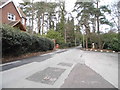
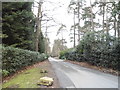
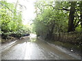
Westwood Road
A tree-lined lane, to the north of Windlesham.
Image: © Peter Trimming
Taken: 19 May 2016
0.12 miles
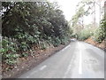
5
Flood on Westwood Road
There had been heavy rain on and off for the last couple of days and this was one of the last remaining results.
Image: © David Howard
Taken: 27 Jul 2015
0.13 miles
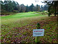
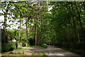
8
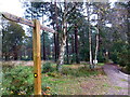
Footpath through woodland on golf course
See also http://www.geograph.org.uk/photo/2339272.
Image: © Shazz
Taken: 27 Nov 2014
0.24 miles