IMAGES TAKEN NEAR TO
Westwood Road, WINDLESHAM, GU20 6AE
Introduction
This page details the photographs taken nearby to Westwood Road, GU20 6AE by members of the Geograph project.
The Geograph project started in 2005 with the aim of publishing, organising and preserving representative images for every square kilometre of Great Britain, Ireland and the Isle of Man.

There are currently over 7.5m images from over14,400 individuals and you can help contribute to the project by visiting https://www.geograph.org.uk
Image Map
Images are licensed for reuse under creativecommons.org/licenses/by-sa/2.0
Notes
- Clicking on the map will re-center to the selected point.
- The higher the marker number, the further away the image location is from the centre of the postcode.
Image Listing (24 Images Found)
Images are licensed for reuse under creativecommons.org/licenses/by-sa/2.0
Image
Details
Distance
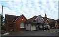
1
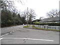
Westwood Road at the junction of Kennel Lane
Image: © David Howard
Taken: 1 Feb 2015
0.02 miles
2
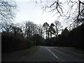
Hatton Hill at the junction of Kennel Lane
Image: © David Howard
Taken: 1 Feb 2015
0.03 miles
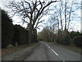
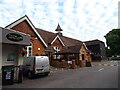
7
Windlesham Village Club and Theatre
On Kennel Lane. The club has bowls and tennis facilities.
Image: © Andrew Smith
Taken: 6 May 2006
0.10 miles
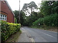
10
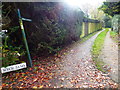
Footpath by playing field goes north to Hatton Hill
Image: © Shazz
Taken: 30 Nov 2014
0.16 miles