
IMAGES TAKEN NEAR TO
Cheriton Way, CAMBERLEY, GU17 0JG
Introduction
This page details the photographs taken nearby to Cheriton Way, GU17 0JG by members of the Geograph project.
The Geograph project started in 2005 with the aim of publishing, organising and preserving representative images for every square kilometre of Great Britain, Ireland and the Isle of Man.

There are currently over 7.5m images from over14,400 individuals and you can help contribute to the project by visiting https://www.geograph.org.uk
Image Map
Images are licensed for reuse under creativecommons.org/licenses/by-sa/2.0
Notes
- Clicking on the map will re-center to the selected point.
- The higher the marker number, the further away the image location is from the centre of the postcode.
Image Listing (17 Images Found)
Images are licensed for reuse under creativecommons.org/licenses/by-sa/2.0
Image
Details
Distance
1
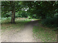
Blackwater Valley Path
The path on the south side of the River Blackwater as it enters the Shepherd Meadows Nature Reserve.
Image: © Alan Hunt
Taken: 29 Aug 2013
0.06 miles
2
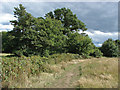
Blackwater Valley Path
The long distance path as it passes through Shepherd Meadows Nature Park.
Image: © Alan Hunt
Taken: 29 Aug 2013
0.06 miles
3
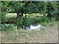
The River Blackwater
The Blackwater river runs from Rowhill near Aldeshot to join the River Loddon at Swallowfield in Berkshire. It forms the boundary between Hampshire and North Surrey for part of its length.
Image: © Alan Hunt
Taken: 29 Aug 2013
0.12 miles
5
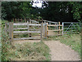
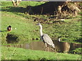
Gates and footbridge
The footbridge over the Blackwater River carrying the Blackwater Valley Path across the river.
Image: © Alan Hunt
Taken: 29 Aug 2013
0.16 miles
6
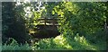
Bridge over Blackwater River
A bridge over the Blackwater River, which runs east to west, south of Sandhurst. This bridge is near the railway tracks between Sandhurst and Blackwater, and The Meadows shopping centre. The public path this bridge allows to run over the river runs from Swan Lake in Sandhurst to beyond Frimley.
Image: © Oscar Taylor
Taken: 17 Aug 2020
0.16 miles
7
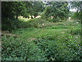
Country stile
A stile near the footbridge over the Blackwater River giving access to the field between the river and marshall Road.
Image: © Alan Hunt
Taken: 29 Aug 2013
0.18 miles
8
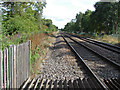
Along the tracks
Looking along the main Guildford to Reading line from the footway near Shepherd Meadows Nature Park
Image: © Alan Hunt
Taken: 29 Aug 2013
0.18 miles
10
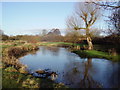
River Blackwater
Shepherds Meadows is an area of wetland and woods on either side of the River Blackwater at Sandhurst. The river here marks the boundary between Hampshire and Berkshire.
Image: © Diane Sambrook
Taken: 16 Jan 2008
0.19 miles