
IMAGES TAKEN NEAR TO
Stroud Lane, CAMBERLEY, GU17 0AW
Introduction
This page details the photographs taken nearby to Stroud Lane, GU17 0AW by members of the Geograph project.
The Geograph project started in 2005 with the aim of publishing, organising and preserving representative images for every square kilometre of Great Britain, Ireland and the Isle of Man.

There are currently over 7.5m images from over14,400 individuals and you can help contribute to the project by visiting https://www.geograph.org.uk
Image Map
Images are licensed for reuse under creativecommons.org/licenses/by-sa/2.0
Notes
- Clicking on the map will re-center to the selected point.
- The higher the marker number, the further away the image location is from the centre of the postcode.
Image Listing (20 Images Found)
Images are licensed for reuse under creativecommons.org/licenses/by-sa/2.0
Image
Details
Distance
1
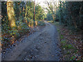
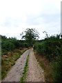
Access road, Yateley Common
The access road to the houses along the edge of Yateley Common
Image: © Alan Hunt
Taken: 16 Dec 2014
0.02 miles
2
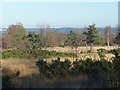
Yateley Common
A long view across this area of lowland heath near Yateley. The ridge in the background is the Gravel Hill/Caesar's Camp area of Bracknell Forest with the buildings of Broadmoor Hospital on the extreme left.
Image: © Alan Hunt
Taken: 16 Dec 2014
0.06 miles
3
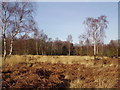
Grasslands in Yateley Common Country Park
Much of this area is covered with grasses, heather and gorse.
Image: © Diane Sambrook
Taken: 22 Jan 2008
0.12 miles
4
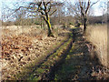
Track through yateley Common
One of the paths running across this area of lowland heath near Yateley.
Image: © Alan Hunt
Taken: 16 Dec 2014
0.12 miles
6
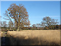
Open grassland, yateley Common
A large area of open grassland with a few scattered trees in the centre of Yatley Common
Image: © Alan Hunt
Taken: 16 Dec 2014
0.13 miles
7
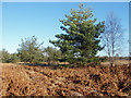
Pines and bracken, Yateley Common
Young pine trees in the bracken on this area of lowland heath near Yateley.
Image: © Alan Hunt
Taken: 16 Dec 2014
0.14 miles
8
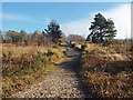
Sandy track, Yateley Common
One of the tracks across this area of lowland heath near Yateley.
Image: © Alan Hunt
Taken: 16 Dec 2014
0.17 miles
9
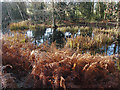
Stroud's Pond
Bracken fringing the northern end of this ancient pond on Yateley Common.
Image: © Alan Hunt
Taken: 16 Dec 2014
0.17 miles
10
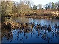
Stroud's Pond, Yateley Common
The smaller of two ponds on Yateley Common. This pond was mentioned in the Domesday Book.
Image: © Alan Hunt
Taken: 16 Dec 2014
0.18 miles