
IMAGES TAKEN NEAR TO
Lanark Close, CAMBERLEY, GU16 8SP
Introduction
This page details the photographs taken nearby to Lanark Close, GU16 8SP by members of the Geograph project.
The Geograph project started in 2005 with the aim of publishing, organising and preserving representative images for every square kilometre of Great Britain, Ireland and the Isle of Man.

There are currently over 7.5m images from over14,400 individuals and you can help contribute to the project by visiting https://www.geograph.org.uk
Image Map
Images are licensed for reuse under creativecommons.org/licenses/by-sa/2.0
Notes
- Clicking on the map will re-center to the selected point.
- The higher the marker number, the further away the image location is from the centre of the postcode.
Image Listing (25 Images Found)
Images are licensed for reuse under creativecommons.org/licenses/by-sa/2.0
Image
Details
Distance
1
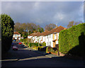
Looking up Meadway from Farm Road
Looking up Meadway from the parade of shops on Farm Road. This residential area is to the east of Frimley town.
Image: © Euchiasmus
Taken: 3 Dec 2007
0.04 miles
2
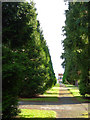
Broad Walk
Broad Walk is a residential road between Holly Hedge Road and Warren Rise on the eastern side of Frimley. Along the south side of the road the footpath runs between impressive rows of towering conifers.
Image: © Euchiasmus
Taken: 3 Dec 2007
0.04 miles
3
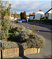
View along Farm Road
This view is looking east along Farm Road from the junction with Wilderness Road. The garden in the foreground has roses still flowering in December!
Image: © Euchiasmus
Taken: 3 Dec 2007
0.07 miles
4
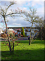
Warren Rise
Warren Rise includes this short cul-de-sac in this residential area to the east of Frimley. The intense red berries, magnificent pampas grass, bright December sunshine and deep shadows are what attracted me to take this photo.
Image: © Euchiasmus
Taken: 3 Dec 2007
0.09 miles
5
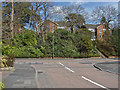
Tomlin's Avenue
The junction of Tomlin's Avenue with the Chobham Road.
Image: © Alan Hunt
Taken: 16 Apr 2013
0.12 miles
6
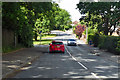
B311 Chobham Road, Frimley
Heading west.
Image: © Robin Webster
Taken: 9 Jun 2019
0.12 miles
7
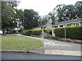
Tomlins Avenue at the junction of Cobham Road
Image: © David Howard
Taken: 27 Jul 2015
0.13 miles
8
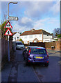
Bicknell Road
Photograph looking up Bicknell Road from the junction with Farm Road in low December sunshine. (I obscured the registration plate of the car out of respect for the owner's privacy).
Image: © Euchiasmus
Taken: 3 Dec 2007
0.13 miles
9
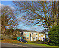
Warren Rise
At the top of Warren Rise this short cul-de-sac leads off to the northeast. The corner garden on the very left of the photograph has an interesting structure in the base of the tree. Early December shows bare trees, leaves on the ground, and low sunshine.
Image: © Euchiasmus
Taken: 3 Dec 2007
0.15 miles
10
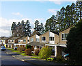
Holly Hedge Road
Looking down Holly Hedge Road, a quiet residential area in Frimley; the magnificent row of trees behind the houses marks the route of the main A325 Portsmouth Road.
Image: © Euchiasmus
Taken: 3 Dec 2007
0.16 miles