
IMAGES TAKEN NEAR TO
Sutton Road, CAMBERLEY, GU15 4AH
Introduction
This page details the photographs taken nearby to Sutton Road, GU15 4AH by members of the Geograph project.
The Geograph project started in 2005 with the aim of publishing, organising and preserving representative images for every square kilometre of Great Britain, Ireland and the Isle of Man.

There are currently over 7.5m images from over14,400 individuals and you can help contribute to the project by visiting https://www.geograph.org.uk
Image Map
Images are licensed for reuse under creativecommons.org/licenses/by-sa/2.0
Notes
- Clicking on the map will re-center to the selected point.
- The higher the marker number, the further away the image location is from the centre of the postcode.
Image Listing (12 Images Found)
Images are licensed for reuse under creativecommons.org/licenses/by-sa/2.0
Image
Details
Distance
1
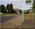
Kingston Road, Old Dean
Kingston Road roundabout, close to Collingwood school/college, on Old Dean, Camberley Housing estate built early 1960's
Image: © Roger
Taken: Unknown
0.09 miles
2
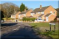
Mitcham Road, Camberley
A short cul-de-sac off the main road of the same name. Roads here are named after districts of south London/Surrey.
Image: © Andrew Smith
Taken: 18 Apr 2021
0.10 miles
3
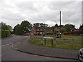
Bracknell Road at the junction of Kingston Road
Image: © David Howard
Taken: 17 May 2015
0.18 miles
6
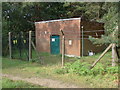
Water pumping station
The water transfer station on the edge of Paschal Wood.
Image: © Alan Hunt
Taken: 15 Sep 2012
0.23 miles
7
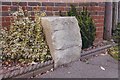
Old Boundary Marker on London Road
The Tollgate Stone, against the front garden wall of No 12 facing onto a roundabout on the northwest side of the A30 London Road at its junction with the A325 Portsmouth Road and the B3015 The Maultway. In the former Frimley parish, now an unparished area in Surrey Heath district. Reported to be a tollgate stone in its original location. The stone on the other side of the road has disappeared.
Milestone Society National ID: SY_CAMBY01zz
Image: © T Dodds
Taken: Unknown
0.23 miles
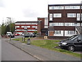
10
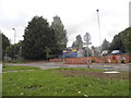
Sparks Garage, Camberley
The sign on the front left was on the roof till recently.
Image: © David Howard
Taken: 23 Aug 2015
0.24 miles