
IMAGES TAKEN NEAR TO
Cripley Road, FARNBOROUGH, GU14 9QB
Introduction
This page details the photographs taken nearby to Cripley Road, GU14 9QB by members of the Geograph project.
The Geograph project started in 2005 with the aim of publishing, organising and preserving representative images for every square kilometre of Great Britain, Ireland and the Isle of Man.

There are currently over 7.5m images from over14,400 individuals and you can help contribute to the project by visiting https://www.geograph.org.uk
Image Map
Images are licensed for reuse under creativecommons.org/licenses/by-sa/2.0
Notes
- Clicking on the map will re-center to the selected point.
- The higher the marker number, the further away the image location is from the centre of the postcode.
Image Listing (13 Images Found)
Images are licensed for reuse under creativecommons.org/licenses/by-sa/2.0
Image
Details
Distance
4
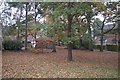
Untouched woodland
On the corner of Chestnut Tree grove and Marlborough View.
Image: © Fernweh
Taken: 3 Nov 2015
0.22 miles
5
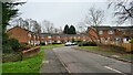
Blackstone Close
Road passes over Hawley Lake Stream.
Image: © James Emmans
Taken: 6 Jan 2022
0.23 miles
6
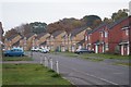
Bland housing - Chavasse Way
These are army houses and folk living here tend to only stay for about two years. This explains the lack of effort on creating pleasing front gardens.
Image: © Fernweh
Taken: 3 Nov 2015
0.23 miles
7
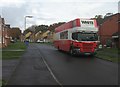
Chavasse Way
These homes are owned by the army so there are often removal vans to be seen as soldiers get reposted.
Image: © Fernweh
Taken: 4 Nov 2015
0.23 miles

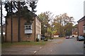
10
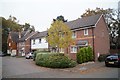
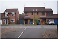
A mix of house styles
Off Chestnut Tree Grove.
Image: © Fernweh
Taken: 3 Nov 2015
0.25 miles