IMAGES TAKEN NEAR TO
Newfield Avenue, FARNBOROUGH, GU14 9PG
Introduction
This page details the photographs taken nearby to Newfield Avenue, GU14 9PG by members of the Geograph project.
The Geograph project started in 2005 with the aim of publishing, organising and preserving representative images for every square kilometre of Great Britain, Ireland and the Isle of Man.

There are currently over 7.5m images from over14,400 individuals and you can help contribute to the project by visiting https://www.geograph.org.uk
Image Map (Loading...)


Getting Data...Please wait
Leaflet Map data © OpenStreetMap
Images are licensed for reuse under creativecommons.org/licenses/by-sa/2.0
Notes
- Clicking on the map will re-center to the selected point.
- The higher the marker number, the further away the image location is from the centre of the postcode.
Image Listing (57 Images Found)
Images are licensed for reuse under creativecommons.org/licenses/by-sa/2.0
Image
Details
Distance
1
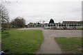
West Heath
Manor School. This square is largely residential, traversed by the M3 Motorway.
Image: © Brendan and Ruth McCartney
Taken: 16 Apr 2005
0.07 miles
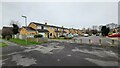
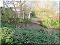
3
Houses in Hanover Gardens
Viewed across Cove Brook.
Image: © Fernweh
Taken: 30 Apr 2015
0.15 miles
4
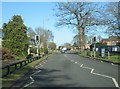
Tay Close
Part of the extensive Farnborough urban sprawl, south of the M3 motorway.
Image: © James Emmans
Taken: 6 Jan 2022
0.15 miles

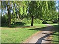
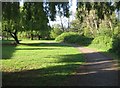
9
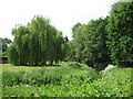
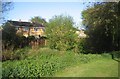
Trees by Cove Brook
The brook is barely visible due to the strong growth of the water loving plants.
Image: © don cload
Taken: 13 Jun 2010
0.17 miles