IMAGES TAKEN NEAR TO
Birchett Road, FARNBOROUGH, GU14 8RG
Introduction
This page details the photographs taken nearby to Birchett Road, GU14 8RG by members of the Geograph project.
The Geograph project started in 2005 with the aim of publishing, organising and preserving representative images for every square kilometre of Great Britain, Ireland and the Isle of Man.

There are currently over 7.5m images from over14,400 individuals and you can help contribute to the project by visiting https://www.geograph.org.uk
Image Map
Images are licensed for reuse under creativecommons.org/licenses/by-sa/2.0
Notes
- Clicking on the map will re-center to the selected point.
- The higher the marker number, the further away the image location is from the centre of the postcode.
Image Listing (133 Images Found)
Images are licensed for reuse under creativecommons.org/licenses/by-sa/2.0
Image
Details
Distance
1
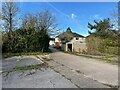
Access to Birchett Road
Looks like this area once had some garages. Now it is an area of parking by the local allotments.
Image: © Fernweh
Taken: 11 Apr 2022
0.04 miles
3
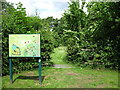
Birchbrook Reserve
A tiny nature reserve where dogs are excluded.
Image: © don cload
Taken: 13 Jun 2010
0.06 miles
4
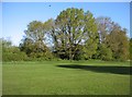
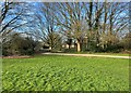
Blunden Road recreation ground
Behind the trees are some allotments.
Image: © Fernweh
Taken: 30 Apr 2015
0.07 miles
6
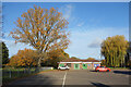
Blunden Hall Community Centre
Situated in a park beside the Cove Brook.
Image: © Des Blenkinsopp
Taken: 7 Dec 2022
0.07 miles
7
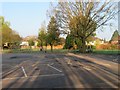
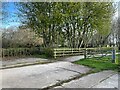
Car park by play area
At the far end of Blunden Road.
Image: © Fernweh
Taken: 7 Apr 2017
0.08 miles
9
Path to Birchett Road
Going past the local allotment gardens.
Image: © Fernweh
Taken: 7 Apr 2017
0.08 miles