
IMAGES TAKEN NEAR TO
Great Stones Way, GU12 6GT
Introduction
This page details the photographs taken nearby to Great Stones Way, GU12 6GT by members of the Geograph project.
The Geograph project started in 2005 with the aim of publishing, organising and preserving representative images for every square kilometre of Great Britain, Ireland and the Isle of Man.

There are currently over 7.5m images from over14,400 individuals and you can help contribute to the project by visiting https://www.geograph.org.uk
Image Map
Images are licensed for reuse under creativecommons.org/licenses/by-sa/2.0
Notes
- Clicking on the map will re-center to the selected point.
- The higher the marker number, the further away the image location is from the centre of the postcode.
Image Listing (27 Images Found)
Images are licensed for reuse under creativecommons.org/licenses/by-sa/2.0
Image
Details
Distance
1
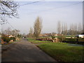
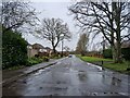
South Lane, Ash, Surrey
What was a narrow unsurfaced lane is now a residential road, although there is still a field or two to develop.
Image: © Humphrey Bolton
Taken: 24 Jan 2006
0.08 miles
2
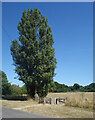
Poplars by the Gate
The entrance to a park off South Lane, Ash.
Image: © Des Blenkinsopp
Taken: 10 Aug 2022
0.08 miles
3
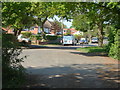
Ash, South Lane
South Lane from the junction with the disused railway line.
Image: © Alan Hunt
Taken: 25 Apr 2011
0.09 miles
4
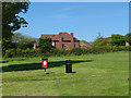
South Lane recreation area
The recreation ground on South Lane with 1980s housing beyond.
Image: © Alan Hunt
Taken: 27 May 2013
0.10 miles
6
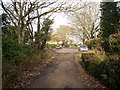
South Lane, Ash, Surrey
This is the short remaining section of narrow unsurfaced lane (looking north towards the widened road). It leads to a network of unsurfaced byways and a recreational path on a disused railway.
Image: © Humphrey Bolton
Taken: 24 Jan 2006
0.14 miles
7
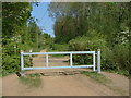
Ash, disused railway
A barrier across the disused railway now used as a bridleway. On the left is the corner of Bin Wood.
Image: © Alan Hunt
Taken: 25 Apr 2011
0.16 miles
8
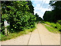
Dismantled railway going east by Bin Wood
This is now a recreational bridleway route adjacent to a byway.
Image: © Shazz
Taken: 21 Jun 2014
0.16 miles
9
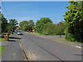
South Lane, Ash
Looking north along South Lane with the junction of The Briars on the right.
Image: © Alan Hunt
Taken: 27 May 2013
0.16 miles
10

Disused Railway looking east, Ash, Surrey
This railway ran from Guildford to Farnham and Winchester. Passenger services ended in 1937 and the last of the rails were lifted in 1960. It is now a recreational route.
Image: © Humphrey Bolton
Taken: 24 Jan 2006
0.17 miles