
IMAGES TAKEN NEAR TO
Woodroffe Close, ALDERSHOT, GU12 6FS
Introduction
This page details the photographs taken nearby to Woodroffe Close, GU12 6FS by members of the Geograph project.
The Geograph project started in 2005 with the aim of publishing, organising and preserving representative images for every square kilometre of Great Britain, Ireland and the Isle of Man.

There are currently over 7.5m images from over14,400 individuals and you can help contribute to the project by visiting https://www.geograph.org.uk
Image Map
Images are licensed for reuse under creativecommons.org/licenses/by-sa/2.0
Notes
- Clicking on the map will re-center to the selected point.
- The higher the marker number, the further away the image location is from the centre of the postcode.
Image Listing (69 Images Found)
Images are licensed for reuse under creativecommons.org/licenses/by-sa/2.0
Image
Details
Distance
1
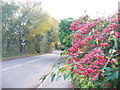
Grange Road, Ash
Red berries brighten up the late autumn in this residential road.
http://www.british-history.ac.uk/report.aspx?compid=42979
Image: © Colin Smith
Taken: 30 Nov 2011
0.10 miles
2
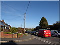
2016: a year on Geograph (Day 74)
Junction of Britten Close and Ash Church Road
Image: © Basher Eyre
Taken: 14 Mar 2016
0.15 miles
3
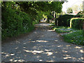
Church Lane, Ash
The unmade access road that runs from Grange Road to Ash Church Road.
Image: © Alan Hunt
Taken: 27 May 2013
0.15 miles
5
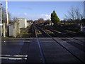
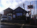
Railway line by Ash station
Taken from the level crossing with the station to the rear.
Image: © David Howard
Taken: 8 Mar 2009
0.15 miles
8
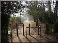
Church Lane, Ash, Surrey
This lane leads southwards from the church, and although wide enough for vehicles is only classed as a public footpath. Partway down it this barrier prevents vehicles from using it as a through route.
Image: © Humphrey Bolton
Taken: 24 Jan 2006
0.16 miles
9
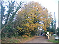
Church Lane, Ash
Leafy lane leading to St Peter's, Ash's Norman church.
http://www.british-history.ac.uk/report.aspx?compid=42979
Image: © Colin Smith
Taken: 30 Nov 2011
0.16 miles
10
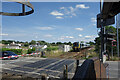
Train leaving Ash Station
This is one of those annoying for motorists crossings where everyone on the road has to wait while the train stands at the station before moving off again.
Image: © Des Blenkinsopp
Taken: 23 Jun 2023
0.17 miles