IMAGES TAKEN NEAR TO
Puttenham Road, FARNHAM, GU10 1HH
Introduction
This page details the photographs taken nearby to Puttenham Road, GU10 1HH by members of the Geograph project.
The Geograph project started in 2005 with the aim of publishing, organising and preserving representative images for every square kilometre of Great Britain, Ireland and the Isle of Man.

There are currently over 7.5m images from over14,400 individuals and you can help contribute to the project by visiting https://www.geograph.org.uk
Image Map
Images are licensed for reuse under creativecommons.org/licenses/by-sa/2.0
Notes
- Clicking on the map will re-center to the selected point.
- The higher the marker number, the further away the image location is from the centre of the postcode.
Image Listing (11 Images Found)
Images are licensed for reuse under creativecommons.org/licenses/by-sa/2.0
Image
Details
Distance
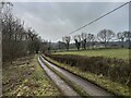
1
Totford Lane
View from the bend in the road on Stony Hill
Image: © James Emmans
Taken: 10 Mar 2021
0.09 miles
2
Totford Lane
South of Newbarn Cottages.
Image: © James Emmans
Taken: 10 Mar 2021
0.10 miles
3
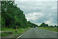
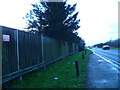
Westbound A31, Hog's Back
The crash barrier finishing on the left is to protect a police car stand, which does not seem to be much used.
Image: © Robin Webster
Taken: 20 Jul 2012
0.15 miles
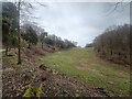
4
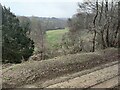
Cliff-like edge of Totford Lane
View toward Stoney Hill from the Hogs Back.
Image: © James Emmans
Taken: 10 Mar 2021
0.17 miles
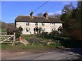
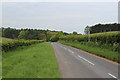
5
Field corner on Puttenham Road
The residents have put their recycling boxes out.
Image: © Shazz
Taken: 14 Mar 2011
0.19 miles
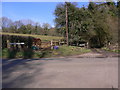
7
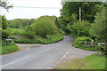
Seale Road junction
Looking from Puttenham Road with Tolford Lane to left and right.
Image: © Oast House Archive
Taken: 19 May 2013
0.19 miles