
IMAGES TAKEN NEAR TO
Jackbarrow Road, CIRENCESTER, GL7 7FF
Introduction
This page details the photographs taken nearby to Jackbarrow Road, GL7 7FF by members of the Geograph project.
The Geograph project started in 2005 with the aim of publishing, organising and preserving representative images for every square kilometre of Great Britain, Ireland and the Isle of Man.

There are currently over 7.5m images from over14,400 individuals and you can help contribute to the project by visiting https://www.geograph.org.uk
Image Map
Images are licensed for reuse under creativecommons.org/licenses/by-sa/2.0
Notes
- Clicking on the map will re-center to the selected point.
- The higher the marker number, the further away the image location is from the centre of the postcode.
Image Listing (8 Images Found)
Images are licensed for reuse under creativecommons.org/licenses/by-sa/2.0
Image
Details
Distance
1
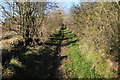
Restricted byway west of Duntisbourne Abbots
Heading to the north-west from Duntisbourne Abbots this restricted byway begins as a metalled road, then becomes a track and finally not much more than a footpath.
Image: © Philip Halling
Taken: 27 Nov 2011
0.07 miles
2
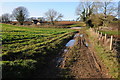
Byway by Long Furlong Barn
Byway with public access passing Long Furlong Barn to the north-west of Duntisbourne Abbots.
Image: © Philip Halling
Taken: 27 Nov 2011
0.07 miles
3
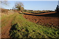
Headland track
Headland track providing access to arable land near Duntisbourne Abbots.
Image: © Philip Halling
Taken: 27 Nov 2011
0.10 miles
4
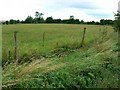
Field near Duntisbourne Abbots
Not a very remarkable field it has to be said. However it is useful to illustrate the concept of gridlines. In this view the southern gridline of the square passes through the centre of the hedge on the horizon and crosses diagonally to a point halfway up the left hand edge of the image. The small building at the left of the image is thus in SO9607, the next square south.
Image: © Brian Robert Marshall
Taken: 17 Aug 2008
0.18 miles
5
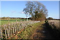
Replanted hedge
A replanted hedge beside a restricted byway where a gas pipe has recently been installed.
Image: © Philip Halling
Taken: 27 Nov 2011
0.18 miles
6
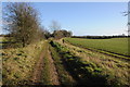
Restricted byway
A restricted byway to the west of Duntisbourne Abbots.
Image: © Philip Halling
Taken: 27 Nov 2011
0.19 miles
7
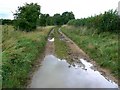
Other route with public access, near Duntisbourne Abbots
The nature of the access rights isn't known to me. It leads to a minor road to Winstone north-west of here. It's been raining lately.
Image: © Brian Robert Marshall
Taken: 17 Aug 2008
0.21 miles
8
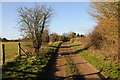
Restricted byway near Duntisbourne Abbots
One of a pair of restricted byways to the west of Duntisbourne Abbots.
Image: © Philip Halling
Taken: 27 Nov 2011
0.24 miles