IMAGES TAKEN NEAR TO
Perrotts Brook, CIRENCESTER, GL7 7BW
Introduction
This page details the photographs taken nearby to GL7 7BW by members of the Geograph project.
The Geograph project started in 2005 with the aim of publishing, organising and preserving representative images for every square kilometre of Great Britain, Ireland and the Isle of Man.

There are currently over 7.5m images from over14,400 individuals and you can help contribute to the project by visiting https://www.geograph.org.uk
Image Map
Images are licensed for reuse under creativecommons.org/licenses/by-sa/2.0
Notes
- Clicking on the map will re-center to the selected point.
- The higher the marker number, the further away the image location is from the centre of the postcode.
Image Listing (18 Images Found)
Images are licensed for reuse under creativecommons.org/licenses/by-sa/2.0
Image
Details
Distance
1
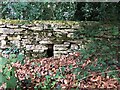
Stone animal Stile, Welsh Way, Bagendon
On the South side of the road. Such gaps are often left for animals like badgers to traverse the wall. Without these easy routes, badgers will inevitably dig a tunnel under, making the wall unstable, causing eventual distress. A similar gap can be found to the East - Image
Image: © Jayne Tovey
Taken: 13 Sep 2021
0.06 miles
2
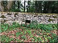
Stone animal Stile, Welsh Way, Bagendon
On the South side of the road. Such gaps are often left for animals like badgers to traverse the wall. Without these easy routes, badgers will inevitably dig a tunnel under, making the wall unstable, causing eventual distress. A similar gap can be found to the West - Image
Image: © Jayne Tovey
Taken: 13 Sep 2021
0.06 miles
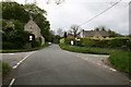
5
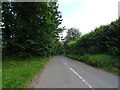
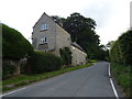
Cutham Lane, Perrott's Brook
Towards the A435.
Image: © JThomas
Taken: 11 Jul 2019
0.15 miles
6
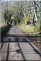
Country road to Bagendon
Country road to Bagendon in the Churn valley.
Image: © Philip Halling
Taken: 21 Nov 2015
0.16 miles
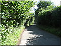
8

Hares Antiques, Bagendon
Hares Antiques is on the A435 near the village of Bagendon. This used to be The Old Boar Inn, I remember having a drink here when it was a pub with a girlfriend some thirty five years ago. The building astrides the boundary between two grid squares.
Image: © Philip Halling
Taken: 21 Nov 2015
0.17 miles
9
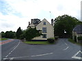
House on the A435, Perrott's Brook
At the junction with Welsh Way.
Image: © JThomas
Taken: 11 Jul 2019
0.17 miles