
IMAGES TAKEN NEAR TO
Old Vicarage Lane, CIRENCESTER, GL7 6BB
Introduction
This page details the photographs taken nearby to Old Vicarage Lane, GL7 6BB by members of the Geograph project.
The Geograph project started in 2005 with the aim of publishing, organising and preserving representative images for every square kilometre of Great Britain, Ireland and the Isle of Man.

There are currently over 7.5m images from over14,400 individuals and you can help contribute to the project by visiting https://www.geograph.org.uk
Image Map
Images are licensed for reuse under creativecommons.org/licenses/by-sa/2.0
Notes
- Clicking on the map will re-center to the selected point.
- The higher the marker number, the further away the image location is from the centre of the postcode.
Image Listing (130 Images Found)
Images are licensed for reuse under creativecommons.org/licenses/by-sa/2.0
Image
Details
Distance
1
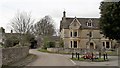
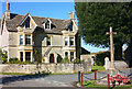
War memorial, Kemble
It occupies a small grassed island in the junction of West Lane and Church Road.
Image: © Chris Brown
Taken: 6 Mar 2017
0.07 miles
2
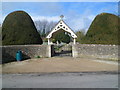
Kemble graveyard lych gate
The lych gate is at the Church Road entrance to the village graveyard http://www.geograph.org.uk/photo/2856942 100 metres north of the village church. The lych gate was formerly used to shelter a coffin until the clergyman's arrival for the burial, or pre-burial service.
Image: © Jaggery
Taken: 18 Mar 2012
0.07 miles
3
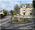
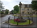
Kemble War Memorial
The memorial is located in the middle of the junction of Church Road and Limes Road, near the village church. http://www.geograph.org.uk/photo/2856968
Image: © Jaggery
Taken: 18 Mar 2012
0.07 miles
4
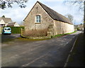
Former barn now part of Kemblewood House, Kemble
The 45 metre (c150ft) long former barn has been integrated into Kemblewood House. http://www.geograph.org.uk/photo/2856997
Image: © Jaggery
Taken: 18 Mar 2012
0.07 miles
5
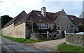
Kemblewood House, Kemble
Part of the Church Road house is a 45 metre (c150ft) long converted barn http://www.geograph.org.uk/photo/2856993 on the left side.
Image: © Jaggery
Taken: 18 Mar 2012
0.07 miles
6
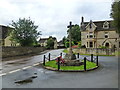
War Memorial and road junction, Kemble
Image: © Ruth Sharville
Taken: 7 Jul 2012
0.07 miles
10
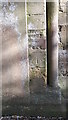
Ordnance Survey Bench Mark
This mark is located at the north side entrance to All Saints Church. These marks were used by Ordnance Survey for mapping purposes.
Image: © V1ncenze
Taken: 11 Feb 2020
0.08 miles