
IMAGES TAKEN NEAR TO
Filkins, LECHLADE, GL7 3RA
Introduction
This page details the photographs taken nearby to GL7 3RA by members of the Geograph project.
The Geograph project started in 2005 with the aim of publishing, organising and preserving representative images for every square kilometre of Great Britain, Ireland and the Isle of Man.

There are currently over 7.5m images from over14,400 individuals and you can help contribute to the project by visiting https://www.geograph.org.uk
Image Map
Images are licensed for reuse under creativecommons.org/licenses/by-sa/2.0
Notes
- Clicking on the map will re-center to the selected point.
- The higher the marker number, the further away the image location is from the centre of the postcode.
Image Listing (6 Images Found)
Images are licensed for reuse under creativecommons.org/licenses/by-sa/2.0
Image
Details
Distance
2
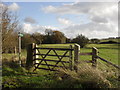
Track into the field
From the Filkins - Eastleach road
Image: © andrew auger
Taken: 15 Nov 2009
0.06 miles
4
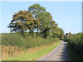
Lane past Oxleaze Common
Near one of the two dwellings in this square.
Image: © Des Blenkinsopp
Taken: 14 Sep 2020
0.09 miles
5
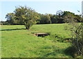
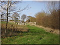
Bridge over a Dry Stream
A footpath crosses a dried up stream bed. The map shows a spring here, but after a dry summer it's not flowing.
Image: © Des Blenkinsopp
Taken: 14 Sep 2020
0.09 miles
6
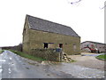
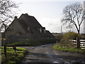
An unconverted barn
This barn looks to be a strange shape; it is not a photographic illusion. The back wall is shorter than the front making the ground plan trapezoid.
Image: © Jonathan Billinger
Taken: 3 Jan 2007
0.17 miles