
IMAGES TAKEN NEAR TO
Longridge, STROUD, GL6 7QT
Introduction
This page details the photographs taken nearby to Longridge, GL6 7QT by members of the Geograph project.
The Geograph project started in 2005 with the aim of publishing, organising and preserving representative images for every square kilometre of Great Britain, Ireland and the Isle of Man.

There are currently over 7.5m images from over14,400 individuals and you can help contribute to the project by visiting https://www.geograph.org.uk
Image Map
Images are licensed for reuse under creativecommons.org/licenses/by-sa/2.0
Notes
- Clicking on the map will re-center to the selected point.
- The higher the marker number, the further away the image location is from the centre of the postcode.
Image Listing (12 Images Found)
Images are licensed for reuse under creativecommons.org/licenses/by-sa/2.0
Image
Details
Distance
1
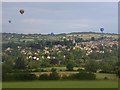
Hot air balloons over Painswick, from Longridge
Awoke early one summer morning to the sound of the gas burners of hot air balloons. Over a dozen floated up the valley.
Image: © Rupert Aker
Taken: 8 Jul 2006
0.04 miles
2
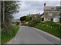
Longridge Village
Longridge overlooks Painswick which lies 1Km to the West.
Image: © Vincent Jones
Taken: 29 Apr 2006
0.06 miles
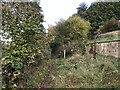
6
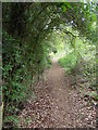
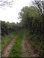
Path behind Longridge
The path runs along the rear of the gardens in Longridge, a small hamlet of mainly large houses with glorious views.
Image: © Terry Jacombs
Taken: 18 May 2012
0.18 miles
7
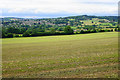
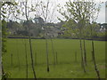
Field below Bulls Cross
This field gives views across the valley of Painswick Stream to Painswick.
Image: © Bill Boaden
Taken: 23 Jul 2015
0.20 miles
8
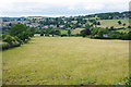
A field of sheep near Painswick
Looking down from Longridge into the valley of Painswick Stream.
Image: © Bill Boaden
Taken: 23 Jul 2015
0.20 miles
10
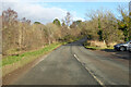
B4070 Slad Road
Towards Birdlip, by Bulls Cross Common.
Image: © Robin Webster
Taken: 9 Jan 2022
0.22 miles