
IMAGES TAKEN NEAR TO
Painswick, STROUD, GL6 6UA
Introduction
This page details the photographs taken nearby to GL6 6UA by members of the Geograph project.
The Geograph project started in 2005 with the aim of publishing, organising and preserving representative images for every square kilometre of Great Britain, Ireland and the Isle of Man.

There are currently over 7.5m images from over14,400 individuals and you can help contribute to the project by visiting https://www.geograph.org.uk
Image Map
Images are licensed for reuse under creativecommons.org/licenses/by-sa/2.0
Notes
- Clicking on the map will re-center to the selected point.
- The higher the marker number, the further away the image location is from the centre of the postcode.
Image Listing (12 Images Found)
Images are licensed for reuse under creativecommons.org/licenses/by-sa/2.0
Image
Details
Distance
1
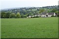
Painswick Lodge
Painswick Lodge with the town of Painswick and the church spire in the distance.
Image: © Philip Halling
Taken: 5 Sep 2022
0.06 miles
2
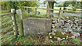
Stone Stile, Painswick/Sheepscombe
Off Damsells Lane near Painswick Lodge. Looking SW onto a path leading South.
Image: © Amanda Laurenson
Taken: 14 Dec 2021
0.11 miles
3
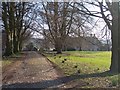
Painswick Lodge
A cluster of buildings dating back many centuries - viewed from the north.
For more information see:
http://www.british-history.ac.uk/report.asp?compid=19042
Image: © Bob Embleton
Taken: 15 Mar 2006
0.11 miles
4
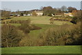
Painswick Lodge
Painswick Lodge viewed from the Wysis Way to the south. For more information see: http://www.british-history.ac.uk/report.aspx?compid=19042
Image: © Philip Halling
Taken: 26 Jan 2008
0.14 miles
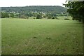
6
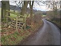
Lane to Sheepscombe
This is the stretch of lane running along the far side of the field seen in Image, seen at sunset.
Image: © Derek Harper
Taken: 2 Jan 2011
0.20 miles
7
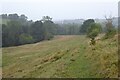
Raining in the Sheepscombe valley
It was a sunny morning when I set out from Painswick but now it's raining, a bit of a novelty after such a dry summer.
Image: © Philip Halling
Taken: 5 Sep 2022
0.20 miles
8
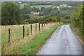
Country road near Sheepscombe
Country road in the Sheepscombe valley
Image: © Philip Halling
Taken: 5 Sep 2022
0.20 miles
9
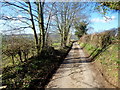
Lane to Cranham
Looking west where the lane contours Saltridge Hill above and to the right.
Image: © Jonathan Billinger
Taken: 11 Feb 2016
0.20 miles
10
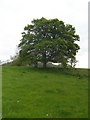
Tree overlooking the Painswick Stream
The hillside falls away quite steeply from here to the stream which runs in the valley below about 200 metres further on.
Image: © Terry Jacombs
Taken: 18 May 2012
0.22 miles