
IMAGES TAKEN NEAR TO
Temple Guiting, CHELTENHAM, GL54 5XU
Introduction
This page details the photographs taken nearby to GL54 5XU by members of the Geograph project.
The Geograph project started in 2005 with the aim of publishing, organising and preserving representative images for every square kilometre of Great Britain, Ireland and the Isle of Man.

There are currently over 7.5m images from over14,400 individuals and you can help contribute to the project by visiting https://www.geograph.org.uk
Image Map
Images are licensed for reuse under creativecommons.org/licenses/by-sa/2.0
Notes
- Clicking on the map will re-center to the selected point.
- The higher the marker number, the further away the image location is from the centre of the postcode.
Image Listing (10 Images Found)
Images are licensed for reuse under creativecommons.org/licenses/by-sa/2.0
Image
Details
Distance
1
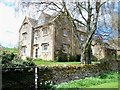
For Hill Farmhouse
Seen from the driveway.
Image: © Michael Dibb
Taken: 20 Apr 2010
0.00 miles
2
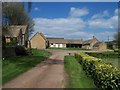
Ford Hill Farm
Seen from the driveway.
Image: © Michael Dibb
Taken: 20 Apr 2010
0.03 miles
3
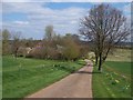
Approaching Ford Hill Farm
The farmer has made the surroundings of the farm most attractive with flowers and flowering trees. The driveway forms part of the combined Gloucestershire Way and Diamond Way long distance footpaths.
Image: © Michael Dibb
Taken: 20 Apr 2010
0.03 miles
4
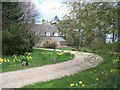
Ford Hill Lodge
Seen from the driveway.
Image: © Michael Dibb
Taken: 20 Apr 2010
0.08 miles
5
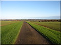
The drive to Ford Hill Farm
The Diamond and Gloucestershire Ways follow this drive.
Image: © David Purchase
Taken: 7 Dec 2014
0.14 miles
6
Diamond Way
Diamond Way heading down the drive to Ford Hill Farm
Image: © Shaun Ferguson
Taken: 29 Jan 2020
0.15 miles
7
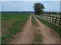
Footpath to Crabs Corner
After providing access to Ford Hill Farm & Lodge, the driveway becomes a track part of the combined Gloucestershire Way and Diamond Way long distance footpaths.
Image: © Michael Dibb
Taken: 20 Apr 2010
0.16 miles
8
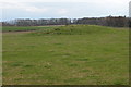
Tumulus to the south of Scarborough Farm
Image: © Philip Halling
Taken: 16 Apr 2006
0.23 miles
9

Driveway to Ford Hill Farm & Lodge
From the minor road this driveway services the farm and the lodge. The driveway is also part of the combined Gloucestershire Way and Diamond Way long distance footpaths.
Image: © Michael Dibb
Taken: 20 Apr 2010
0.23 miles
10
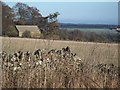
Cutsdeanhill Barn
Seen from the minor road. The views from the top of the hill are far reaching, the prominent house at the extreme right edge of the image is Bourton Far Hill Farm Image
Image: © Michael Dibb
Taken: 19 Dec 2009
0.24 miles