
IMAGES TAKEN NEAR TO
/The Sherry, CHELTENHAM, GL54 5RP
Introduction
This page details the photographs taken nearby to /The Sherry, GL54 5RP by members of the Geograph project.
The Geograph project started in 2005 with the aim of publishing, organising and preserving representative images for every square kilometre of Great Britain, Ireland and the Isle of Man.

There are currently over 7.5m images from over14,400 individuals and you can help contribute to the project by visiting https://www.geograph.org.uk
Image Map
Images are licensed for reuse under creativecommons.org/licenses/by-sa/2.0
Notes
- Clicking on the map will re-center to the selected point.
- The higher the marker number, the further away the image location is from the centre of the postcode.
Image Listing (51 Images Found)
Images are licensed for reuse under creativecommons.org/licenses/by-sa/2.0
Image
Details
Distance
1
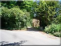
Bridleway meets road
The bridleway from The Warren ends here when it meets the minor road. There is a sign indicating the bridleway but it is lost in the trees to the left.
Image: © Michael Dibb
Taken: 28 Jun 2010
0.05 miles
2
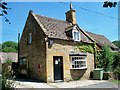
Village shop
This shop in Temple Guiting is run by the community and staffed by volunteers.
Image: © Michael Dibb
Taken: 28 Jun 2010
0.05 miles
3
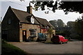
Post Office in Temple Guiting
The Post Office and Village Store in Temple Guiting.
Image: © Philip Halling
Taken: 16 Oct 2005
0.07 miles
4
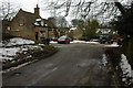
Village store, Temple Guiting
The sign directing to this store indicate Post Office and village store though I am not sure if it is still a post office.
Image: © Philip Halling
Taken: 14 Feb 2009
0.09 miles
6
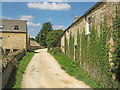
Track at Manor Farm
Heading north out of Temple Guiting.
Image: © Trevor Rickard
Taken: 16 Aug 2010
0.11 miles
7
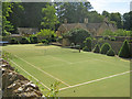
Tennis court at Manor Farm
Artificial surface court with neatly clipped bushes around the perimeter.
Image: © Trevor Rickard
Taken: 16 Aug 2010
0.13 miles
8
Temple Guiting
The last house in the small village, none of the nearby roads have apparent names.
Image: © David Howard
Taken: 2 Nov 2019
0.13 miles
9
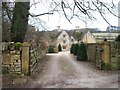
The Manor, Temple Guiting
Seen from the lane which is also part of the Diamond Way long distance path.
Image: © Michael Dibb
Taken: 25 Feb 2010
0.14 miles
10
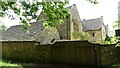
Manor Farmhouse
https://historicengland.org.uk/listing/the-list/list-entry/1089482?section=official-list-entry
Image: © Sandy Gerrard
Taken: 14 May 2024
0.15 miles