
IMAGES TAKEN NEAR TO
Farmington Road, CHELTENHAM, GL54 3FR
Introduction
This page details the photographs taken nearby to Farmington Road, GL54 3FR by members of the Geograph project.
The Geograph project started in 2005 with the aim of publishing, organising and preserving representative images for every square kilometre of Great Britain, Ireland and the Isle of Man.

There are currently over 7.5m images from over14,400 individuals and you can help contribute to the project by visiting https://www.geograph.org.uk
Image Map
Images are licensed for reuse under creativecommons.org/licenses/by-sa/2.0
Notes
- Clicking on the map will re-center to the selected point.
- The higher the marker number, the further away the image location is from the centre of the postcode.
Image Listing (19 Images Found)
Images are licensed for reuse under creativecommons.org/licenses/by-sa/2.0
Image
Details
Distance
1
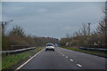
Cotswold : The A40
Looking along the A40.
Image: © Lewis Clarke
Taken: 18 Mar 2019
0.04 miles
2
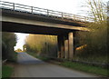
Farmington Road
Passing beneath the A40, and followed by the Monarch's Way.
Image: © Derek Harper
Taken: 8 Apr 2015
0.05 miles
5
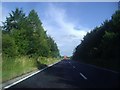
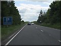
The A40 passing Northleach
The parking sign has been painted out (vandals?) but the parking area has not gone away.
Image: © David Howard
Taken: 29 Jul 2013
0.07 miles
6
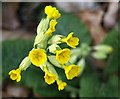
False Oxlip by the Monarch's Way
Just west of the bridge which carries the A40 over the Way, here following the road from Northleach to Farmington.
Image: © Derek Harper
Taken: 8 Apr 2015
0.07 miles
7
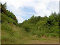
A very restricted byway off Farmington Road
Not much chance of driving down here.
Image: © Steve Fareham
Taken: 7 Jul 2009
0.09 miles
8
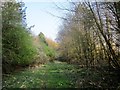
Byway near the A40
A reverse view of Image] along restricted byway KNE 3/2. The clearly audible A40 is only about 15 metres off to the left.
Image: © Derek Harper
Taken: 8 Apr 2015
0.10 miles
9
Restricted byway sign on Farmington Road
Near Northleach.
Image: © Steve Fareham
Taken: 7 Jul 2009
0.12 miles
10
Farmington Road
The sign shown in Image placed in more context. The byway is shown in Image The road, which is followed by the Monarch's Way, is soon to pass beneath the A40.
Image: © Derek Harper
Taken: 8 Apr 2015
0.12 miles