
IMAGES TAKEN NEAR TO
Bourton Hill, CHELTENHAM, GL54 2LF
Introduction
This page details the photographs taken nearby to Bourton Hill, GL54 2LF by members of the Geograph project.
The Geograph project started in 2005 with the aim of publishing, organising and preserving representative images for every square kilometre of Great Britain, Ireland and the Isle of Man.

There are currently over 7.5m images from over14,400 individuals and you can help contribute to the project by visiting https://www.geograph.org.uk
Image Map
Images are licensed for reuse under creativecommons.org/licenses/by-sa/2.0
Notes
- Clicking on the map will re-center to the selected point.
- The higher the marker number, the further away the image location is from the centre of the postcode.
Image Listing (17 Images Found)
Images are licensed for reuse under creativecommons.org/licenses/by-sa/2.0
Image
Details
Distance
2
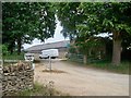
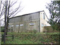
Tagmoor Farm
The farm is spread over three sites. This site is seen from the minor road.
Image: © Michael Dibb
Taken: 30 Jul 2010
0.02 miles
3
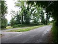
Country junction
Behind the camera to the Fosse Way; left to Bourton-on-the-Water; right to Clapton-on-the-Hill.
Image: © Michael Dibb
Taken: 30 Jul 2010
0.04 miles
4
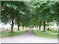
Farm driveway
The driveway to the main part of Tagmoor Farm is seen from the minor road. A public footpath ran down the driveway but has now been diverted and leaves the minor road further south.
Image: © Michael Dibb
Taken: 30 Jul 2010
0.10 miles
5
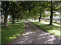
Driveway to Tagmoor Farm
Tree lined entrance to Tagmoor Farm.
Image: © Philip Halling
Taken: 7 Oct 2006
0.11 miles
6
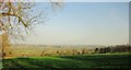
Field, Tagmoor
A view from the road from Bourton to Goms Hole, looking towards the valley of the River Dikler.
Image: © Derek Harper
Taken: 7 Apr 2015
0.12 miles
7
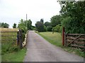
Bungalow driveway
From the minor road, this driveway leads to the bungalow.
Image: © Michael Dibb
Taken: 30 Jul 2010
0.13 miles
8
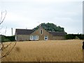
Bungalow across the field
This bungalow is seen, across the field, from the minor road.
Image: © Michael Dibb
Taken: 30 Jul 2010
0.14 miles
9
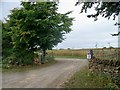
Track to Stone Burn
The OS maps show this track starting in the corner of the field where the public footpath runs. This new entrance may have been created in conjunction with the temporary sign 'Field Barn Park' which is a camping/caravan site.
Image: © Michael Dibb
Taken: 30 Jul 2010
0.16 miles
10
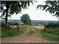
Footpath to the valley
From the road, the footpath runs down this track leads into the valley where it joins up with The Monarch's Way long distance footpath. The path once ran down the driveway to Tagmoor Farm (as is shown on the OS maps) but has been diverted.
Image: © Michael Dibb
Taken: 30 Jul 2010
0.18 miles