
IMAGES TAKEN NEAR TO
Lower Swell Road, CHELTENHAM, GL54 1NA
Introduction
This page details the photographs taken nearby to Lower Swell Road, GL54 1NA by members of the Geograph project.
The Geograph project started in 2005 with the aim of publishing, organising and preserving representative images for every square kilometre of Great Britain, Ireland and the Isle of Man.

There are currently over 7.5m images from over14,400 individuals and you can help contribute to the project by visiting https://www.geograph.org.uk
Image Map
Images are licensed for reuse under creativecommons.org/licenses/by-sa/2.0
Notes
- Clicking on the map will re-center to the selected point.
- The higher the marker number, the further away the image location is from the centre of the postcode.
Image Listing (391 Images Found)
Images are licensed for reuse under creativecommons.org/licenses/by-sa/2.0
Image
Details
Distance
1
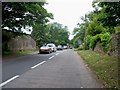
The road to Lower Swell
The B4068 road descends steeply down the hill to Lower Swell. This road and the A436 from Bouton-on-the-Water have swapped road classifications in recent years and rightly so. This B road is not suitable for HGVs.
Image: © Michael Dibb
Taken: 15 Jun 2010
0.01 miles
2
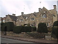
Cotswold stone cottages on the edge of Stow-on-the-Wold
Image: © Sarah Charlesworth
Taken: 3 Dec 2009
0.01 miles
3
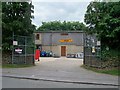
Stow Agricultural Services
In this farming community, this business is well utilized.
Image: © Michael Dibb
Taken: 15 Jun 2010
0.01 miles
4
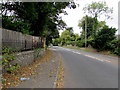
West along the B4068, Stow-on-the-Wold
Viewed from the corner of the A429 junction, the eastern start/end of
the B4068 which extends ahead for 13km to the A436 junction in Naunton Downs.
Image: © Jaggery
Taken: 18 Sep 2018
0.01 miles
5
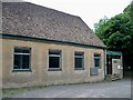
Stow telephone exchange
Seen from the B4068 road.
Image: © Michael Dibb
Taken: 15 Jun 2010
0.02 miles
7
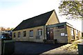
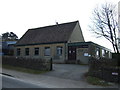
The Telephone Exchange in Stow
The Telephone Exchange is on the B4068.
Image: © Steve Daniels
Taken: 12 Nov 2013
0.02 miles

10

Benchmark on Unicorn Hotel
Ordnance Survey flush bracket (serial number 1705) benchmark described on the Bench Mark Database at http://www.bench-marks.org.uk/bm10516
Image: © Roger Templeman
Taken: 27 Jun 2015
0.06 miles