
IMAGES TAKEN NEAR TO
Bradley Road, CHELTENHAM, GL53 8DX
Introduction
This page details the photographs taken nearby to Bradley Road, GL53 8DX by members of the Geograph project.
The Geograph project started in 2005 with the aim of publishing, organising and preserving representative images for every square kilometre of Great Britain, Ireland and the Isle of Man.

There are currently over 7.5m images from over14,400 individuals and you can help contribute to the project by visiting https://www.geograph.org.uk
Image Map
Images are licensed for reuse under creativecommons.org/licenses/by-sa/2.0
Notes
- Clicking on the map will re-center to the selected point.
- The higher the marker number, the further away the image location is from the centre of the postcode.
Image Listing (115 Images Found)
Images are licensed for reuse under creativecommons.org/licenses/by-sa/2.0
Image
Details
Distance
3
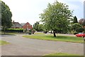
Bradley Road Triangle and bus stop
This is the south eastern limit of local bus services from Cheltenham. It is also used as a pick up and drop off point for national coach services heading to and from the south east and south.
Image: © Terry Jacombs
Taken: 27 Jul 2012
0.04 miles
4
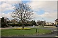
Bradley Road Triangle, Cheltenham
Seen from another direction, and in a leafier season, in Image The A435 is on the left. Presumably the two forlorn posts in the foreground should bear a similar message to those on the other side of the green, which, also rather forlornly, carry an advertisement offering itself as an advertising space.
Image: © Derek Harper
Taken: 21 Mar 2015
0.04 miles
5
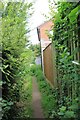
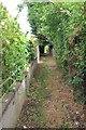
Footpath from Bradley Road to the Little Owl car park
A network of footpaths thread between the house which lie between the Cirencester Road and Little Herbert's Road on the southern edge of Charlton Kings.
Image: © Terry Jacombs
Taken: 27 Jul 2012
0.04 miles
6
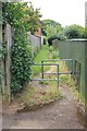
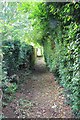
Footpath from Bradley Road to the Little Owl car park
A network of footpaths thread between the house which lie between the Cirencester Road and Little Herbert's Road on the southern edge of Charlton Kings.
Image: © Terry Jacombs
Taken: 27 Jul 2012
0.05 miles
7
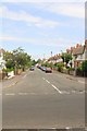
Croft Gardens
A road of early twentieth century small terraced houses on the southern side of Charlton Kings.
Image: © Terry Jacombs
Taken: 27 Jul 2012
0.06 miles
9
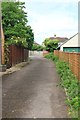
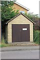
Croft Mews
The newest "Croft", provides access to a couple of houses built on what was previously the back gardens of houses in Croft Avenue.
Image: © Terry Jacombs
Taken: 2 Aug 2012
0.07 miles
10
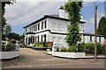
Glenure Court
A large well maintained (Victorian?) property on the Cirencester Road south of Cheltenham, now divided into a number of apartments.
Image: © Terry Jacombs
Taken: 27 Jul 2012
0.07 miles