
IMAGES TAKEN NEAR TO
Stoke Road, CHELTENHAM, GL52 7RY
Introduction
This page details the photographs taken nearby to Stoke Road, GL52 7RY by members of the Geograph project.
The Geograph project started in 2005 with the aim of publishing, organising and preserving representative images for every square kilometre of Great Britain, Ireland and the Isle of Man.

There are currently over 7.5m images from over14,400 individuals and you can help contribute to the project by visiting https://www.geograph.org.uk
Image Map
Images are licensed for reuse under creativecommons.org/licenses/by-sa/2.0
Notes
- Clicking on the map will re-center to the selected point.
- The higher the marker number, the further away the image location is from the centre of the postcode.
Image Listing (83 Images Found)
Images are licensed for reuse under creativecommons.org/licenses/by-sa/2.0
Image
Details
Distance
1
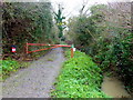
Footpath north from Stoke Orchard
Designated a byway on older mapping.
Image: © Jonathan Billinger
Taken: 12 Dec 2014
0.03 miles
2
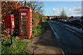
Post box and telephone box in Stoke Orchard
Image: © Philip Halling
Taken: 6 Dec 2009
0.04 miles
3
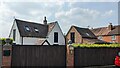
Duckstone House
https://historicengland.org.uk/listing/the-list/list-entry/1271219?section=official-list-entry
Image: © Sandy Gerrard
Taken: 11 May 2024
0.06 miles
4
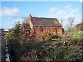
Overgrown Chapel, Stoke Orchard
Looks like a small mid-Victorian methodist chapel. On a site soon to be developed - watch this square !
Image: © Bob Embleton
Taken: 15 Nov 2005
0.07 miles
5
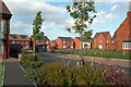
New Housing in Stoke Orchard
A mid-October view taken from the community centre car park.
Image: © Mary and Angus Hogg
Taken: 16 Oct 2017
0.08 miles
6
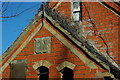
Chapel gable end, Stoke Orchard
The gable end of this former chapel dates it to 1865.
Image: © Philip Halling
Taken: 6 Dec 2009
0.08 miles
7
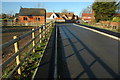
Access road to new housing in Stoke Orchard
New road giving access to modern recently built houses in Stoke Orchard, the former chapel is on the left.
Image: © Philip Halling
Taken: 6 Dec 2009
0.09 miles
8
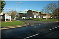
Orchard Business Centre, Stoke Orchard
This business centre in Stoke Orchard used to be the site of an NCB (National Coal Board) research establishment until its closure around the time of privatisation in the 1980s.
Image: © Philip Halling
Taken: 6 Dec 2009
0.09 miles
9
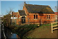
Former chapel in Stoke Orchard
Former chapel dating from 1865 in Stoke Orchard, four years ago when photographed by Bob Embleton this chapel was overgrown and the land nearby awaiting development.
Image: © Philip Halling
Taken: 6 Dec 2009
0.09 miles
10
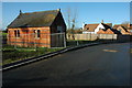
Former chapel, Stoke Orchard
Former chapel dating from 1865 in Stoke Orchard, four years ago when photographed by Bob Embleton Image] this chapel was overgrown and the land nearby awaiting development. I drove past on 21 August 2010 (in rain) and the chapel has been demolished.
Image: © Philip Halling
Taken: 6 Dec 2009
0.09 miles