
IMAGES TAKEN NEAR TO
Godfrey Close, CHELTENHAM, GL51 6EJ
Introduction
This page details the photographs taken nearby to Godfrey Close, GL51 6EJ by members of the Geograph project.
The Geograph project started in 2005 with the aim of publishing, organising and preserving representative images for every square kilometre of Great Britain, Ireland and the Isle of Man.

There are currently over 7.5m images from over14,400 individuals and you can help contribute to the project by visiting https://www.geograph.org.uk
Image Map
Images are licensed for reuse under creativecommons.org/licenses/by-sa/2.0
Notes
- Clicking on the map will re-center to the selected point.
- The higher the marker number, the further away the image location is from the centre of the postcode.
Image Listing (31 Images Found)
Images are licensed for reuse under creativecommons.org/licenses/by-sa/2.0
Image
Details
Distance
1
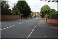
Warden Hill Road, Cheltenham
Warden Hill Road, Bourneside in Cheltenham.
Image: © Philip Halling
Taken: 13 Aug 2011
0.09 miles
2
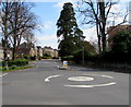
Hatherley Road mini-roundabout, Cheltenham
The broken white line on the left is at the Shelburne Road junction.
Image: © Jaggery
Taken: 3 Apr 2016
0.13 miles
3
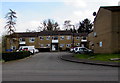
Flats set back from Shelburne Road, Cheltenham
Set back about 30 metres from the east side of the road.
Image: © Jaggery
Taken: 3 Apr 2016
0.14 miles
4
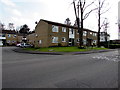
Flats on the east side of Shelburne Road, Cheltenham
SCHOOL SAFETY ZONE painted on Shelburne Road is on the approach to Dean Close School.
Image: © Jaggery
Taken: 3 Apr 2016
0.14 miles
5
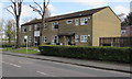
Shelburne Road flats, Cheltenham
On the east side of Shelburne Road near the Hatherley Road junction.
Image: © Jaggery
Taken: 3 Apr 2016
0.14 miles
6
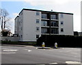
Four-storey block of flats, Alma Road, Cheltenham
Viewed from Hatherley Road.
Image: © Jaggery
Taken: 3 Apr 2016
0.15 miles
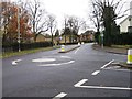
8
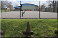
Dean Close School tennis courts, Cheltenham
Looking eastwards from Shelburne Road spiked railings.
Image: © Jaggery
Taken: 3 Apr 2016
0.15 miles
9
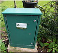
Green cabinet on the east side of Shelburne Road, Cheltenham
Environment Agency river level measurement station for Hatherley Brook.
Image: © Jaggery
Taken: 3 Apr 2016
0.15 miles
10
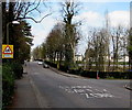
Warning sign - School, Shelburne Road, Cheltenham
Facing northbound traffic on the approach to Dean Close School.
SCHOOL SAFETY ZONE is painted on the road surface.
Image: © Jaggery
Taken: 3 Apr 2016
0.15 miles