
IMAGES TAKEN NEAR TO
Colesbourne Road, CHELTENHAM, GL51 6DW
Introduction
This page details the photographs taken nearby to Colesbourne Road, GL51 6DW by members of the Geograph project.
The Geograph project started in 2005 with the aim of publishing, organising and preserving representative images for every square kilometre of Great Britain, Ireland and the Isle of Man.

There are currently over 7.5m images from over14,400 individuals and you can help contribute to the project by visiting https://www.geograph.org.uk
Image Map
Images are licensed for reuse under creativecommons.org/licenses/by-sa/2.0
Notes
- Clicking on the map will re-center to the selected point.
- The higher the marker number, the further away the image location is from the centre of the postcode.
Image Listing (47 Images Found)
Images are licensed for reuse under creativecommons.org/licenses/by-sa/2.0
Image
Details
Distance
1

Queen Elizabeth II pillarbox on a Cheltenham corner
Located here. http://www.geograph.org.uk/photo/5100935
Image: © Jaggery
Taken: 3 Apr 2016
0.02 miles
2
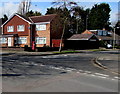
Pillarbox on a suburban corner of Cheltenham
On the corner of Robert Burns Avenue and Colesbourne Road.
Image: © Jaggery
Taken: 3 Apr 2016
0.02 miles
3
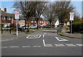
Southern end of Robert Burns Avenue, Cheltenham
Viewed across Hatherley Lane. A 20mph zone is in force near schools.
Image: © Jaggery
Taken: 3 Apr 2016
0.04 miles
4
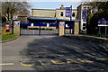
Junior School entrance gates, Robert Burns Avenue, Cheltenham
Into St Mark's Church of England (VA) Junior School. http://www.geograph.org.uk/photo/5100899
Image: © Jaggery
Taken: 3 Apr 2016
0.05 miles
5
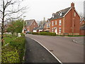
Grace Gardens
Modern houses built in the last ten years in Grace Gardens.
Image: © Philip Halling
Taken: 26 Mar 2011
0.06 miles
6
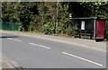
Hatherley Lane bus stop and shelter, Cheltenham
Near the Robert Burns Avenue junction.
Image: © Jaggery
Taken: 3 Apr 2016
0.06 miles
7
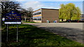
St Mark's Church of England (VA) Junior School, Cheltenham
Viewed from Robert Burns Avenue. The VA in the school's name means Voluntary Aided. A voluntary aided school is a state-funded school in which a foundation or trust (such as a religious organisation) owns the school buildings, contributes to building costs and has a substantial influence in the running of the school. Such schools have more autonomy than voluntary controlled schools, which are wholly funded by the state.
Image: © Jaggery
Taken: 3 Apr 2016
0.06 miles
8
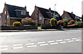
Hatherley Lane houses, Cheltenham
Opposite the Robert Burns Avenue junction.
Image: © Jaggery
Taken: 3 Apr 2016
0.07 miles
9
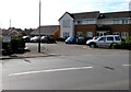
Hatherley Mews, Cheltenham
Set back from the north side of Hatherley Lane.
Image: © Jaggery
Taken: 3 Apr 2016
0.09 miles
10
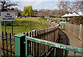
NO DOGS ALLOWED notice facing Robert Burns Avenue, Cheltenham
Alongside a path into Benhall Infant School.
Image: © Jaggery
Taken: 3 Apr 2016
0.10 miles