
IMAGES TAKEN NEAR TO
St. Pauls Road, CHELTENHAM, GL50 4DQ
Introduction
This page details the photographs taken nearby to St. Pauls Road, GL50 4DQ by members of the Geograph project.
The Geograph project started in 2005 with the aim of publishing, organising and preserving representative images for every square kilometre of Great Britain, Ireland and the Isle of Man.

There are currently over 7.5m images from over14,400 individuals and you can help contribute to the project by visiting https://www.geograph.org.uk
Image Map
Images are licensed for reuse under creativecommons.org/licenses/by-sa/2.0
Notes
- Clicking on the map will re-center to the selected point.
- The higher the marker number, the further away the image location is from the centre of the postcode.
Image Listing (77 Images Found)
Images are licensed for reuse under creativecommons.org/licenses/by-sa/2.0
Image
Details
Distance
1
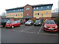
St Paul's Medical Centre
St Paul's Medical Centre is on Swindon Road in Cheltenham.
Image: © Philip Halling
Taken: 30 Dec 2016
0.07 miles
2
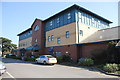
St Paul's Medical Centre
Built on the site of the St Paul's Maternity Hospital it is now the home for three surgeries relocated from other parts of the town and a number of ancillary medical services.
Image: © Terry Jacombs
Taken: 28 Mar 2012
0.07 miles
3
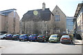
The Clegg Building, Frances Close Hall
Frances Close Hall is one of the two campuses of the University of Gloucestershire in Cheltenham.
Image: © Terry Jacombs
Taken: 28 Mar 2012
0.08 miles
4
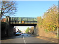
Old Railway Bridge Crossing St Pauls Street Cheltenham
Image: © Roy Hughes
Taken: 29 Nov 2014
0.09 miles
5
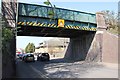
St Paul's Road railway bridge
The bridge used to carry the Cheltenham to Honeybourne railway line over St Paul's Road.
Image: © Terry Jacombs
Taken: 28 Mar 2012
0.09 miles
6
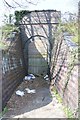
Old access bridge under railway
This used to provide access under the Cheltenham to Honeybourne railway line. What it gave access to I do not know, the site on the other side of the line is now occupied by a small housing development. The litter is sadly typical of such places.
Image: © Terry Jacombs
Taken: 28 Mar 2012
0.09 miles
7
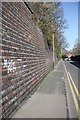
Railway retaining wall, Carlton Place
The Cheltenham to Honeybourne railway line used to run on the embankment behind this retaining wall.
Image: © Terry Jacombs
Taken: 28 Mar 2012
0.10 miles
8
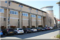
Modern extension, Frances Close Hall
Frances Close Hall is one of two campuses of the University of Cheltenham in Gloucestershire.
Image: © Terry Jacombs
Taken: 28 Mar 2012
0.11 miles
9
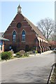
Old Chapel, St Paul's Medical Centre
Originally the chapel attached to the St Paul's Maternity Hospital, now used for medical services.
Image: © Terry Jacombs
Taken: 28 Mar 2012
0.11 miles
10
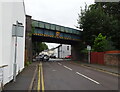
Disused railway bridge over Swindon Road, Cheltenham
Now used by National Cycle Route 41.
Image: © JThomas
Taken: 13 Aug 2021
0.12 miles