
IMAGES TAKEN NEAR TO
Hurricane Road, GLOUCESTER, GL3 4FF
Introduction
This page details the photographs taken nearby to Hurricane Road, GL3 4FF by members of the Geograph project.
The Geograph project started in 2005 with the aim of publishing, organising and preserving representative images for every square kilometre of Great Britain, Ireland and the Isle of Man.

There are currently over 7.5m images from over14,400 individuals and you can help contribute to the project by visiting https://www.geograph.org.uk
Image Map
Images are licensed for reuse under creativecommons.org/licenses/by-sa/2.0
Notes
- Clicking on the map will re-center to the selected point.
- The higher the marker number, the further away the image location is from the centre of the postcode.
Image Listing (10 Images Found)
Images are licensed for reuse under creativecommons.org/licenses/by-sa/2.0
Image
Details
Distance
1
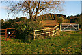
Field Gates near Abbotswood Farm, Brockworth
The left gate leads to a public footpath skirting the rapidly developing Gloucester Business Park. The green belt at this point on the edge of the Cotswold Area of Outstanding Natural Beauty is under threat by development both of the Business Park and of the nearby old Brockworth aerodrome.
Image: © Mike Baldwin
Taken: 31 Oct 2007
0.10 miles
2
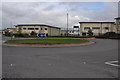
Industrial estate, Brockworth
Industrial estate on the former Brockworth Airfield
Image: © Philip Halling
Taken: 26 Feb 2011
0.11 miles
5
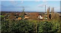
View over Abbotswood Farm
Taken from its Christmas Tree plantation looking over the top of the farmhouse to the city of Gloucester and the hills beyond.
Image: © Rob Farrow
Taken: 8 Dec 2019
0.14 miles
6
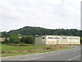
Gloucester Business Park and Coopers Hill
The south-eastern edge of Gloucester Business park contains general warehousing buildings and adjoins open countryside.
Image: © Doug Lee
Taken: 16 Aug 2005
0.14 miles
7
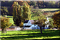
Abbotswood Farm near Brockworth
View towards the farmhouse with Coopers Hill behind.
Image: © Mike Baldwin
Taken: 31 Oct 2007
0.17 miles
8
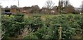
Abbotswood Farm over its Christmas trees
A view over the top of some of the Christmas trees being grown at Abbotswood Farm to the farmhouse and some of the other farm buildings.
Image: © Rob Farrow
Taken: 8 Dec 2019
0.18 miles
9
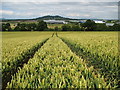
Through the wheat
A view almost due north from a footpath through a wheat field. Churchdown Hill is on the skyline, and Gloucester Business park can be seen through the trees.
Image: © Sharon Loxton
Taken: 8 Jul 2008
0.19 miles
10
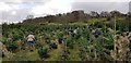
Christmas trees at Abbotswood Farm
A section of the field at Abbotswood Farm near Gloucester where Christmas trees were being grown - and now cut down. They were a mixture of Norway Spruce (Picea abies) and Nordmann Fir (Abies nordmanniana) - the latter being what can mostly be seen in this image, often referred to as Nordmannian they are famous for retaining their needles far better than most pines, spruces and firs.
Image: © Rob Farrow
Taken: 8 Dec 2019
0.22 miles