IMAGES TAKEN NEAR TO
Maidenhall, GLOUCESTER, GL2 8DL
Introduction
This page details the photographs taken nearby to Maidenhall, GL2 8DL by members of the Geograph project.
The Geograph project started in 2005 with the aim of publishing, organising and preserving representative images for every square kilometre of Great Britain, Ireland and the Isle of Man.

There are currently over 7.5m images from over14,400 individuals and you can help contribute to the project by visiting https://www.geograph.org.uk
Image Map
Images are licensed for reuse under creativecommons.org/licenses/by-sa/2.0
Notes
- Clicking on the map will re-center to the selected point.
- The higher the marker number, the further away the image location is from the centre of the postcode.
Image Listing (21 Images Found)
Images are licensed for reuse under creativecommons.org/licenses/by-sa/2.0
Image
Details
Distance
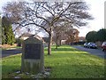
1
Highnam Village Silver Jubilee Plaque
Marked: EIIR - June 1977 - Highnam - Lassington Over Linton
Image: © Bob Embleton
Taken: 13 Dec 2005
0.09 miles
2
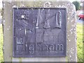
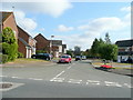
Maidenhall, Highnam
A large suburban development.
Image: © Jonathan Thacker
Taken: 10 Oct 2014
0.11 miles
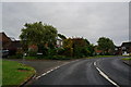
3
Highnam, Lassington, Over, Linton
Looking east along the entrance to a new "village" / housing estate quite a long way from anywhere. For details of the plaque see supplemental picture.
Image: © Bob Embleton
Taken: 13 Dec 2005
0.13 miles
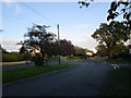
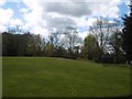
5
Turners Close
Another cul-de-sac in Maidenhall, see Image
Image: © Jonathan Billinger
Taken: 8 Aug 2010
0.20 miles
8
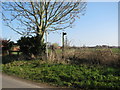
Green space, Highnam
Land left undeveloped between the expanded village and the B4215.
Image: © Richard Webb
Taken: 16 Apr 2016
0.21 miles
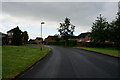
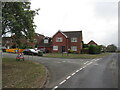
10
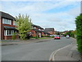
Poole Ground, Maidenhall
A large housing estate in countryside west of Gloucester.
Image: © Jonathan Billinger
Taken: 25 Jul 2010
0.22 miles