
IMAGES TAKEN NEAR TO
Secunda Way, GLOUCESTER, GL2 5GA
Introduction
This page details the photographs taken nearby to Secunda Way, GL2 5GA by members of the Geograph project.
The Geograph project started in 2005 with the aim of publishing, organising and preserving representative images for every square kilometre of Great Britain, Ireland and the Isle of Man.

There are currently over 7.5m images from over14,400 individuals and you can help contribute to the project by visiting https://www.geograph.org.uk
Image Map
Images are licensed for reuse under creativecommons.org/licenses/by-sa/2.0
Notes
- Clicking on the map will re-center to the selected point.
- The higher the marker number, the further away the image location is from the centre of the postcode.
Image Listing (37 Images Found)
Images are licensed for reuse under creativecommons.org/licenses/by-sa/2.0
Image
Details
Distance
4
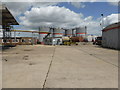
Hobb Bros fuel depot (closed)
This is by Monk Meadow Dock on the Gloucester & Sharpness Canal and closed in 2014. This again illustrates that you can get good shots through gates and fences with a compact camera. Using zoom it can appear you are trespassing when in fact you are not - an effect I like.
Image: © Chris Allen
Taken: 21 Jun 2015
0.10 miles
5
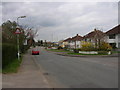
Gloucester: Hempsted Lane
On way to Gloucester, near the roundabout (Gloucester's bypass)
Image: © Alby
Taken: 9 Apr 2007
0.11 miles
6
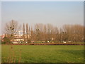
Gloucester, Hempsted: Football Ground
Hempsted football pitch taken from the Hempsted Lane.
Image: © Alby
Taken: 16 Feb 2008
0.11 miles
8
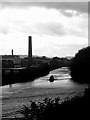
The Sharpness Canal, Gloucester
Looking into an autumnal sky on a showery September morning.
Image: © Jonathan Billinger
Taken: 9 Sep 2017
0.12 miles
9
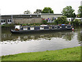
Gloucester, Gloucester & Sharpness canal
Gloucester & Sharpness canal and a typical canal boat.
Image: © Alby
Taken: 12 Jun 2006
0.12 miles
10
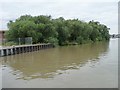
Former timber ponds, Gloucester & Sharpness Canal
This woodland, soon to be a public open space, was once shallow ponds where timber floated until it was sold on. The tiny inlet at the near end of the woods was the ponds' entrance. Taken from the trip boat, Queen Boadicea II.
Image: © Christine Johnstone
Taken: 22 Jul 2011
0.12 miles