
IMAGES TAKEN NEAR TO
Kemerton, TEWKESBURY, GL20 7JB
Introduction
This page details the photographs taken nearby to GL20 7JB by members of the Geograph project.
The Geograph project started in 2005 with the aim of publishing, organising and preserving representative images for every square kilometre of Great Britain, Ireland and the Isle of Man.

There are currently over 7.5m images from over14,400 individuals and you can help contribute to the project by visiting https://www.geograph.org.uk
Image Map
Images are licensed for reuse under creativecommons.org/licenses/by-sa/2.0
Notes
- Clicking on the map will re-center to the selected point.
- The higher the marker number, the further away the image location is from the centre of the postcode.
Image Listing (20 Images Found)
Images are licensed for reuse under creativecommons.org/licenses/by-sa/2.0
Image
Details
Distance


3

Oil seed rape field, Kemerton
A field of oil seed rape in blossom in a field to the west of Kemerton. Bredon Hill can be seen in the background. Viewed from the south the hill appears insignificant as it falls gently away.
Image: © Philip Halling
Taken: 25 May 2013
0.11 miles
4
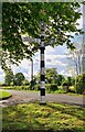
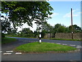
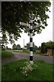
Direction Sign ? Signpost in Kemerton, Worcestershire
Located on a grass triangle on the south side of the T junction of Kemerton Road and Kinsham Lane in Kemerton parish. 3 arms and annulus finial. A Gloucestershire concrete post adapted after Kemerton transferred to Worcestershire in 1931. See also https://www.geograph.org.uk/photo/794508.
Milestone Society National ID: WO_SO9437
Image: © S Hartland
Taken: 16 May 2021
0.16 miles
9
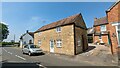
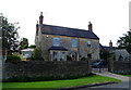
The Old Bakehouse
https://historicengland.org.uk/listing/the-list/list-entry/1081609?section=official-list-entry
Image: © Sandy Gerrard
Taken: 12 May 2024
0.18 miles
10
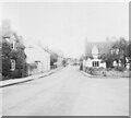
Entering Kemerton Main Street, with old bakehouse
The white building on the left was the bakehouse into the early 1950s. It is listed, originally 18th Century.
Image: © David Hawgood
Taken: Unknown
0.19 miles