
IMAGES TAKEN NEAR TO
Drinkers End, GLOUCESTER, GL19 4NE
Introduction
This page details the photographs taken nearby to Drinkers End, GL19 4NE by members of the Geograph project.
The Geograph project started in 2005 with the aim of publishing, organising and preserving representative images for every square kilometre of Great Britain, Ireland and the Isle of Man.

There are currently over 7.5m images from over14,400 individuals and you can help contribute to the project by visiting https://www.geograph.org.uk
Image Map
Images are licensed for reuse under creativecommons.org/licenses/by-sa/2.0
Notes
- Clicking on the map will re-center to the selected point.
- The higher the marker number, the further away the image location is from the centre of the postcode.
Image Listing (7 Images Found)
Images are licensed for reuse under creativecommons.org/licenses/by-sa/2.0
Image
Details
Distance
1
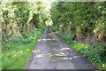
Country road at Eldersfield
Narrow country road at Drinker's End near Eldersfield.
Image: © Philip Halling
Taken: 18 Aug 2012
0.13 miles
2
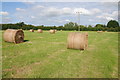
Hay bales in a field near Eldersfield
Haymaking has been delayed this summer due to the poor weather.
Image: © Philip Halling
Taken: 18 Aug 2012
0.16 miles
3
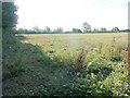
Footpath east
Leading from Lime Street to Drinkers End parallel to the Gloucester/Worcester county boundary.
Image: © Jonathan Billinger
Taken: 13 Aug 2010
0.16 miles
4
Moggie in the early morning sunshine.
The grey cat is soaking up the rays of August morning sunshine.
What a life!
Image: © Jonathan Billinger
Taken: 13 Aug 2010
0.18 miles
5
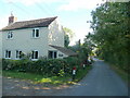
Rose Tree Cottage
Looking north towards Lime Street from the Gloucestershire boundary into Worcestershire.
Image: © Jonathan Billinger
Taken: 13 Aug 2010
0.21 miles
6
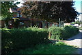
The Butcher's Arms, Eldersfield
Formerly 'The Greyhound'.
Image: © Philip Halling
Taken: 25 Aug 2007
0.22 miles
7
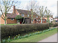
Springlike day at The Butcher's Arms, Eldersfield
Image: © Pauline E
Taken: 7 Mar 2008
0.25 miles