IMAGES TAKEN NEAR TO
Main Road, GLOUCESTER, GL19 4HB
Introduction
This page details the photographs taken nearby to Main Road, GL19 4HB by members of the Geograph project.
The Geograph project started in 2005 with the aim of publishing, organising and preserving representative images for every square kilometre of Great Britain, Ireland and the Isle of Man.

There are currently over 7.5m images from over14,400 individuals and you can help contribute to the project by visiting https://www.geograph.org.uk
Image Map
Images are licensed for reuse under creativecommons.org/licenses/by-sa/2.0
Notes
- Clicking on the map will re-center to the selected point.
- The higher the marker number, the further away the image location is from the centre of the postcode.
Image Listing (15 Images Found)
Images are licensed for reuse under creativecommons.org/licenses/by-sa/2.0
Image
Details
Distance
1
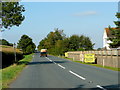
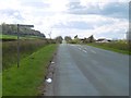
B4213 west of Tirley
Looking west towards Staunton.
The campaign posters are to raise awareness of objections to the proposed siting of the National Grid's Pressure Reduction Installation on a nearby greenfield site - see; http://webservicesuk.com/Default.aspx?alias=webservicesuk.com/capri
Image: © Jonathan Billinger
Taken: 18 Sep 2009
0.04 miles
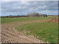
2
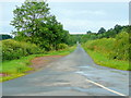
Straight road to Corse Hill
Viewed from the B4213 by The Folly.
Image: © Jonathan Billinger
Taken: 6 Jul 2011
0.08 miles
5
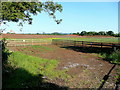
Tirley Pressure Reduction Installation
Not much of the ongoing work can be seen from this angle, but construction which began in early spring 2011 is taking place beyond the ramparts to the left.
The Malvern Hills can just be seen in the distance.
See; http://www.nationalgrid.com/uk/Gas/Pipelines/milfordhaven/corsepri/
Image: © Jonathan Billinger
Taken: 31 May 2011
0.12 miles
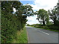
6
Maize crop below Corse Hill
Looking south-west from the B4213 east of Tirley Villa.
Image: © Jonathan Billinger
Taken: 18 Sep 2009
0.13 miles
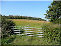
7
Sheep grazing land
The distant view through autumnal drizzle is of the Malvern Hills.
Image: © Jonathan Billinger
Taken: 4 Oct 2010
0.14 miles
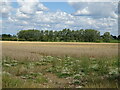
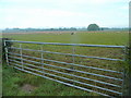
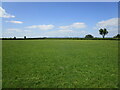
8
Flat farmland at Tirley Knowle
With view of the Malvern Hills.
Image: © Pauline E
Taken: 7 Mar 2008
0.15 miles
10
Grassland near Tirley
The Malvern Hills in the far distance.
Image: © Jonathan Thacker
Taken: 30 May 2023
0.19 miles