
IMAGES TAKEN NEAR TO
Horsecroft Lane, DYMOCK, GL18 2EJ
Introduction
This page details the photographs taken nearby to Horsecroft Lane, GL18 2EJ by members of the Geograph project.
The Geograph project started in 2005 with the aim of publishing, organising and preserving representative images for every square kilometre of Great Britain, Ireland and the Isle of Man.

There are currently over 7.5m images from over14,400 individuals and you can help contribute to the project by visiting https://www.geograph.org.uk
Image Map
Images are licensed for reuse under creativecommons.org/licenses/by-sa/2.0
Notes
- Clicking on the map will re-center to the selected point.
- The higher the marker number, the further away the image location is from the centre of the postcode.
Image Listing (18 Images Found)
Images are licensed for reuse under creativecommons.org/licenses/by-sa/2.0
Image
Details
Distance
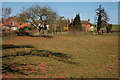
2
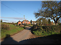
Houses at Ryton
In the shadow of Limetrees Farm looking towards Bromesberrow Heath.
Image: © Pauline E
Taken: 1 Dec 2008
0.08 miles
4
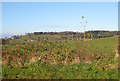
View from a country lane
Looking north across a field of winter wheat.
Image: © Pauline E
Taken: 1 Dec 2008
0.12 miles
5
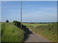
Road to Ryton
Single track lane to Ryton from Bromesberrow Heath. Notice the red streak of poppies in the rape field ahead.
Image: © Pauline E
Taken: 3 Jun 2009
0.16 miles
6
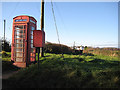
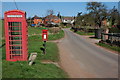
K6 kiosk in the hamlet of Ryton
Looking towards a narrow track which passes under the M50.
Image: © Pauline E
Taken: 1 Dec 2008
0.18 miles
7

Papery poppy petals
Common poppy - Papaver rhoeas.
This one is one of thousands in a rape crop near Bromesberrow Heath.
Image: © Pauline E
Taken: 3 Jun 2009
0.19 miles
8
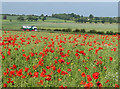
Eddie's on his way
The M50 motorway passes this field which only a few weeks ago was a sea of yellow rape flowers, now overtaken by the scarlet poppies. A Stobart truck heads East towards the M5.
Image: © Pauline E
Taken: 3 Jun 2009
0.19 miles
9
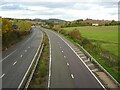
The M50 west of Bromesberrow Heath
The M50 west of Bromesberrow Heath with the southern end of the Malvern Hills in the background. Opened in 1960 the M50 was one of Britain's earliest motorways, being an important link between the then coalfields of South Wales and the industrial midlands around Birmingham and the Black Country.
Image: © Philip Halling
Taken: 22 Oct 2020
0.20 miles
10
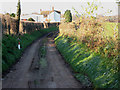
Narrow lane, Ryton
Looking towards the M50.
Image: © Pauline E
Taken: 1 Dec 2008
0.20 miles