
IMAGES TAKEN NEAR TO
Rocks Road, LYDBROOK, GL17 9RG
Introduction
This page details the photographs taken nearby to Rocks Road, GL17 9RG by members of the Geograph project.
The Geograph project started in 2005 with the aim of publishing, organising and preserving representative images for every square kilometre of Great Britain, Ireland and the Isle of Man.

There are currently over 7.5m images from over14,400 individuals and you can help contribute to the project by visiting https://www.geograph.org.uk
Image Map
Images are licensed for reuse under creativecommons.org/licenses/by-sa/2.0
Notes
- Clicking on the map will re-center to the selected point.
- The higher the marker number, the further away the image location is from the centre of the postcode.
Image Listing (15 Images Found)
Images are licensed for reuse under creativecommons.org/licenses/by-sa/2.0
Image
Details
Distance
2
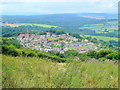
Joy's Green
A typical Forest of Dean community set on a hillside high above the Wye Valley and Lydbrook.
Viewed from the same weedy field as Image
Image: © Jonathan Billinger
Taken: 3 Aug 2009
0.07 miles
3
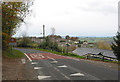
Entering Joy's Green from Ruardean
A hillside village enjoying stunning views.
Image: © Pauline E
Taken: 14 Nov 2007
0.12 miles
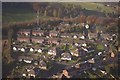
5
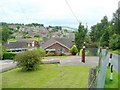
Joy's Green 2
A closer view of this Forest community compared with Image
Image: © Jonathan Billinger
Taken: 3 Aug 2009
0.16 miles
6
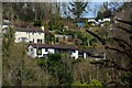
Lydbrook : Village Scenery
Looking across to houses on the hillside.
Image: © Lewis Clarke
Taken: 22 Mar 2023
0.16 miles
7
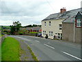
Old Post Office, Joy's Green
On the ruardean road, looking west.
Image: © Jonathan Billinger
Taken: 3 Aug 2009
0.18 miles
8
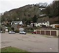
Hillside view from Central Lydbrook
Located in a hilly part of the Forest of Dean in west Gloucestershire, Central Lydbrook is part of the civil parish of Lydbrook, which also includes Lower Lydbrook, Upper Lydbrook, Joys Green and Worrall Hill.
Image: © Jaggery
Taken: 20 Mar 2016
0.21 miles
9
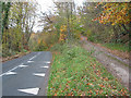
Hilltop road and parallel track near Joy's Green
Image: © Pauline E
Taken: 14 Nov 2007
0.23 miles
10
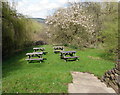
Royal Spring Inn picnic tables, Lower Lydbrook
On the west side of the inn http://www.geograph.org.uk/photo/4902543 separated from it by Vention Lane.
Image: © Jaggery
Taken: 10 Apr 2016
0.23 miles