
IMAGES TAKEN NEAR TO
Greenways Drive, COLEFORD, GL16 8PF
Introduction
This page details the photographs taken nearby to Greenways Drive, GL16 8PF by members of the Geograph project.
The Geograph project started in 2005 with the aim of publishing, organising and preserving representative images for every square kilometre of Great Britain, Ireland and the Isle of Man.

There are currently over 7.5m images from over14,400 individuals and you can help contribute to the project by visiting https://www.geograph.org.uk
Image Map
Images are licensed for reuse under creativecommons.org/licenses/by-sa/2.0
Notes
- Clicking on the map will re-center to the selected point.
- The higher the marker number, the further away the image location is from the centre of the postcode.
Image Listing (84 Images Found)
Images are licensed for reuse under creativecommons.org/licenses/by-sa/2.0
Image
Details
Distance
1
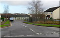
Tufthorn Close, Coleford
Viewed across Tufthorn Avenue.
Image: © Jaggery
Taken: 12 Dec 2011
0.03 miles
2
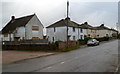
Houses earmarked for demolition on the east side of Tufthorn Avenue, Coleford
The houses with boarded-up windows are some of those to be demolished as part of the Two Rivers Housing Association's community regeneration project in Tufthorn Avenue.
House builders Lovell will construct the replacements.
Image: © Jaggery
Taken: 12 Dec 2011
0.07 miles
3
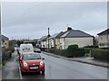
Tufthorne Avenue, Coleford
View north, towards Coleford.
Image: © Alan Hughes
Taken: 12 Dec 2021
0.09 miles
4
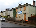
Houses earmarked for demolition on the west side of Tufthorn Avenue, Coleford
The houses with boarded-up windows are some of those to be demolished as part of the Two Rivers Housing Association's community regeneration project in Tufthorn Avenue.
House builders Lovell will construct the replacements.
Image: © Jaggery
Taken: 12 Dec 2011
0.09 miles
5

Former Sonoco premises, Coleford
The boarded-up and long derelict building is alongside Tufthorn Avenue.
The former cardboard tubing factory closed down in 2009. A local newspaper reported that a major factor leading to closure was the loss of a contract for making Scotch Tape rolls for 3M.
Image: © Jaggery
Taken: 12 Dec 2011
0.10 miles
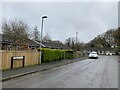
7
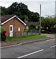
Queen Elizabeth II postbox, Tufthorn Avenue, Coleford
Ruffet Close is on the right.
Image: © Jaggery
Taken: 4 Sep 2016
0.11 miles
8
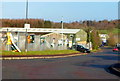
Stepbridge Road, Coleford
Viewed from residential Tufthorn Avenue looking along Stepbridge Road through an industrial estate.
Image: © Jaggery
Taken: 12 Dec 2011
0.11 miles
9
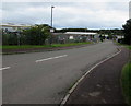
Stepbridge Road, Coleford
Descending into Tufthorn Industrial Estate.
Image: © Jaggery
Taken: 4 Sep 2016
0.12 miles
10
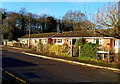
Ruffet Close, Coleford
Ruffet Close is a small cul-de-sac of 12 houses on the west side of Tufthorn Avenue.
The trees are at the edge of Perrygrove Wood.
Image: © Jaggery
Taken: 12 Dec 2011
0.12 miles