
IMAGES TAKEN NEAR TO
Chepstow Road, COLEFORD, GL16 8JF
Introduction
This page details the photographs taken nearby to Chepstow Road, GL16 8JF by members of the Geograph project.
The Geograph project started in 2005 with the aim of publishing, organising and preserving representative images for every square kilometre of Great Britain, Ireland and the Isle of Man.

There are currently over 7.5m images from over14,400 individuals and you can help contribute to the project by visiting https://www.geograph.org.uk
Image Map
Images are licensed for reuse under creativecommons.org/licenses/by-sa/2.0
Notes
- Clicking on the map will re-center to the selected point.
- The higher the marker number, the further away the image location is from the centre of the postcode.
Image Listing (44 Images Found)
Images are licensed for reuse under creativecommons.org/licenses/by-sa/2.0
Image
Details
Distance
2
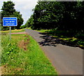
Unsuitable route for wide vehicles from Sling to Clearwell
The sign is at the Sling end of The Rocks, a narrow lane to Clearwell.
Image: © Jaggery
Taken: 5 Jul 2015
0.08 miles
3
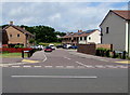
Miners Close, Sling
Recently-built housing viewed across Milestone Walk.
Image: © Jaggery
Taken: 5 Jul 2015
0.09 miles
5
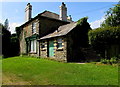
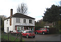
House with a shop front, Sling
Alongside the B4228, facing The Miners Country Inn. http://www.geograph.org.uk/photo/4557250
Image: © Jaggery
Taken: 5 Jul 2015
0.10 miles
6
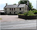
The Miners Country Inn, Sling
Viewed across the B4228 at the edge of Sling, a village in the Forest of Dean District of west Gloucestershire.
Image: © Jaggery
Taken: 5 Jul 2015
0.10 miles
7
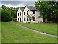
The Miners, Sling
The Miners Inn at Sling.
Image: © Philip Halling
Taken: 18 Aug 2020
0.11 miles
9
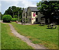
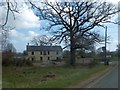
Path through the Miners Country Inn beer garden, Sling
From Milestone Walk to the B4228.
Image: © Jaggery
Taken: 5 Jul 2015
0.11 miles
10
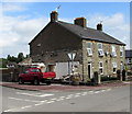
Corner of Oakwood Road and Milestone Walk, Sling
What looked like a small single-storey shop in a September 2009 Google Earth Street View has been partly demolished.
Image: © Jaggery
Taken: 5 Jul 2015
0.12 miles