
IMAGES TAKEN NEAR TO
Stroud Road, GLOUCESTER, GL1 5JJ
Introduction
This page details the photographs taken nearby to Stroud Road, GL1 5JJ by members of the Geograph project.
The Geograph project started in 2005 with the aim of publishing, organising and preserving representative images for every square kilometre of Great Britain, Ireland and the Isle of Man.

There are currently over 7.5m images from over14,400 individuals and you can help contribute to the project by visiting https://www.geograph.org.uk
Image Map
Images are licensed for reuse under creativecommons.org/licenses/by-sa/2.0
Notes
- Clicking on the map will re-center to the selected point.
- The higher the marker number, the further away the image location is from the centre of the postcode.
Image Listing (109 Images Found)
Images are licensed for reuse under creativecommons.org/licenses/by-sa/2.0
Image
Details
Distance
1
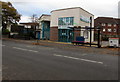
Stroud Road Pharmacy, Gloucester
At 153A Stroud Road, near Rosebank medical surgery.
Image: © Jaggery
Taken: 6 Nov 2016
0.01 miles
2
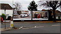
JCDecaux advertising hoardings, Stroud Road, Gloucester
Numbered 008101 and 008102, the hoardings are on the east side of the B4072 Stroud Road.
JCDecaux is the largest outdoor advertising corporation in the world.
A Victorian pillarbox http://www.geograph.org.uk/photo/5185043 is on the left.
Image: © Jaggery
Taken: 6 Nov 2016
0.02 miles
3
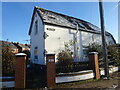
Former Toll House, Stroud Road
At the junction with Tredworth Road. Believed to be a much modified ex Toll House, not much is obvious of the original building, though the footprint is very similar to that shown on the 1882/3 map. It would have served the Gloucester and Stroud Turnpike Trust up to the mid 19ᵗʰ Century.
Milestone Society National ID: GL.GLO02
Image: © Mr Red
Taken: 16 Dec 2022
0.02 miles
4
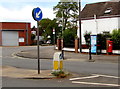
Stroud Road pillarbox and BT phonebox, Gloucester
Located near the corner of Tredworth Road. The pillarbox is Victorian. http://www.geograph.org.uk/photo/5185043
Image: © Jaggery
Taken: 6 Nov 2016
0.03 miles
5
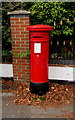
Victorian pillarbox, Stroud Road, Gloucester
Located here. http://www.geograph.org.uk/photo/5185039
Image: © Jaggery
Taken: 6 Nov 2016
0.03 miles
6
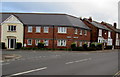
Corner of Furlong Road and Tredworth Road, Gloucester
Viewed across Tredworth Road near the corner of Stroud Road.
Image: © Jaggery
Taken: 6 Nov 2016
0.03 miles
7
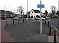
Cycle route direction sign, Stroud Road, Gloucester
Pointing towards Tredworth Road, the sign shows Saintbridge 7 min(ute)s, Upton St Leonards 16 mins.
Image: © Jaggery
Taken: 6 Nov 2016
0.04 miles
8
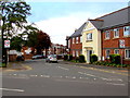
Furlong Road, Gloucester
The 30mph speed limit on Tredworth Road drops to 20 on Furlong Road.
Image: © Jaggery
Taken: 6 Nov 2016
0.04 miles
9
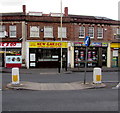
New Garden in Gloucester
New Garden Cantonese and Chinese takeaway is at 116 Stroud Road.
Image: © Jaggery
Taken: 6 Nov 2016
0.05 miles
10
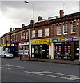
K M Reprographics, Gloucester
The business's website states that KM Reprographics at 114 Stroud Road offer large and small format printing & copying services, exhibition & display solutions and drawing office supplies.
Image: © Jaggery
Taken: 6 Nov 2016
0.05 miles