
IMAGES TAKEN NEAR TO
Drake Lane, DURSLEY, GL11 5HF
Introduction
This page details the photographs taken nearby to Drake Lane, GL11 5HF by members of the Geograph project.
The Geograph project started in 2005 with the aim of publishing, organising and preserving representative images for every square kilometre of Great Britain, Ireland and the Isle of Man.

There are currently over 7.5m images from over14,400 individuals and you can help contribute to the project by visiting https://www.geograph.org.uk
Image Map
Images are licensed for reuse under creativecommons.org/licenses/by-sa/2.0
Notes
- Clicking on the map will re-center to the selected point.
- The higher the marker number, the further away the image location is from the centre of the postcode.
Image Listing (6 Images Found)
Images are licensed for reuse under creativecommons.org/licenses/by-sa/2.0
Image
Details
Distance
1
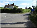
Road junction on Drake Street
Road junction on Drake Street just outside Dursley.
Image: © Philip Halling
Taken: 4 Aug 2018
0.09 miles
2
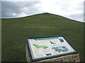
Information Board at Cam Peaked Down, near Dursley, Cotswolds
The climb to the peak is short but steep and affords excellent views all around.
Image: © Anthony O'Neil
Taken: 7 Mar 2006
0.19 miles
3
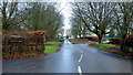
Cam House School, Drake Lane, Dursley
A specialist school for boys with emotional and learning difficulties.
Image: © Jonathan Billinger
Taken: 7 Dec 2012
0.22 miles
5
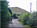
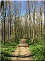
View towards Cam Peak from Springhill, south of Ashmead Green
Image: © Phil Champion
Taken: 20 Aug 2005
0.24 miles
6
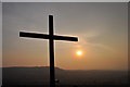
Easter day on Cam Peak
Easter sunset on Cam Peak.
Image: © kay kenyon
Taken: 23 Apr 2011
0.24 miles