
IMAGES TAKEN NEAR TO
Palmers Court, STONEHOUSE, GL10 2JB
Introduction
This page details the photographs taken nearby to Palmers Court, GL10 2JB by members of the Geograph project.
The Geograph project started in 2005 with the aim of publishing, organising and preserving representative images for every square kilometre of Great Britain, Ireland and the Isle of Man.

There are currently over 7.5m images from over14,400 individuals and you can help contribute to the project by visiting https://www.geograph.org.uk
Image Map
Images are licensed for reuse under creativecommons.org/licenses/by-sa/2.0
Notes
- Clicking on the map will re-center to the selected point.
- The higher the marker number, the further away the image location is from the centre of the postcode.
Image Listing (783 Images Found)
Images are licensed for reuse under creativecommons.org/licenses/by-sa/2.0
Image
Details
Distance
1
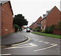
Storrington Road, Stonehouse
Viewed from the corner of Burdett Road. Storrington Road leads to Palmers Court and Springfield Court.
Image: © Jaggery
Taken: 22 Dec 2017
0.02 miles
2
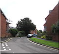
East along Storrington Road, Stonehouse
Dead-end road viewed from the Burdett Road junction.
Image: © Jaggery
Taken: 19 Jul 2020
0.03 miles
3
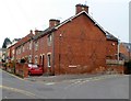
Corner of Storrington Road and Burdett Road, Stonehouse
Burdett Road is on the left.
Image: © Jaggery
Taken: 20 Nov 2011
0.04 miles
4
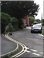
Black cat, Storrington Road, Stonehouse
Crossing the road near the Burdett Road junction in July 2020.
Image: © Jaggery
Taken: 19 Jul 2020
0.04 miles
5
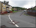
East along Burdett Close, Stonehouse
Dead-end road viewed from Burdett Road. The railings and wooden fence in the background are alongside the railway near Stonehouse station.
Image: © Jaggery
Taken: 19 Jul 2020
0.04 miles
6
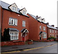
Albion Court, Burdett Road, Stonehouse
Modern houses near Stonehouse railway station.
Image: © Jaggery
Taken: 22 Dec 2017
0.04 miles
7
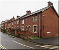
Brick houses, Burdett Road, Stonehouse
The house nearest the camera is on the corner of Storrington Road. https://www.geograph.org.uk/photo/5633466
Image: © Jaggery
Taken: 22 Dec 2017
0.04 miles
8
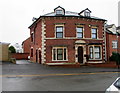
Albion Villa flats near Stonehouse railway station
The Burdett Road building named Albion Villa contains four flats.
Image: © Jaggery
Taken: 22 Dec 2017
0.04 miles
9
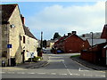
Burdett Road, Stonehouse
Viewed across the B4008 Bath Road. The right turn ahead is into Storrington Road.
Burdett Road also leads to Burdett Close and the main entrance to Stonehouse railway station.
Image: © Jaggery
Taken: 3 Apr 2016
0.04 miles
10
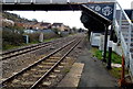
Under the late Victorian footbridge at Stonehouse railway station
Viewed from platform 2 looking towards Stroud railway station.
The central ornate inscription on the footbridge is the year 1890. The larger inscription on the right is GWR though the intertwined letters are not easily distinguished. Knowing that this was originally a GWR (Great Western Railway) station greatly helped recognition of the letters.
Image: © Jaggery
Taken: 23 Mar 2014
0.04 miles