
IMAGES TAKEN NEAR TO
Dumbarton Road, CLYDEBANK, G81 1HS
Introduction
This page details the photographs taken nearby to Dumbarton Road, G81 1HS by members of the Geograph project.
The Geograph project started in 2005 with the aim of publishing, organising and preserving representative images for every square kilometre of Great Britain, Ireland and the Isle of Man.

There are currently over 7.5m images from over14,400 individuals and you can help contribute to the project by visiting https://www.geograph.org.uk
Image Map
Images are licensed for reuse under creativecommons.org/licenses/by-sa/2.0
Notes
- Clicking on the map will re-center to the selected point.
- The higher the marker number, the further away the image location is from the centre of the postcode.
Image Listing (176 Images Found)
Images are licensed for reuse under creativecommons.org/licenses/by-sa/2.0
Image
Details
Distance
1
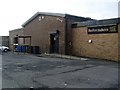
Boilermakers' Club, Clydebank
A members' club in the Clydebank area.
Image: © Stephen Sweeney
Taken: 27 Jan 2008
0.02 miles
2
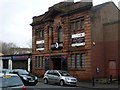
The Crow Bar, Clydebank
Recently-opened rock bar in Clydebank. Features live music, games nights and nothing but the best in rock music. The building has a date stone in its facade - it was constructed in 1924, which must make it one of the oldest buildings in Clydebank, as the town was only founded in 1886, and many of its buildings and structures were destroyed in the Clydebank Blitz of 13-14 March 1941.
Image: © Stephen Sweeney
Taken: 27 Jan 2008
0.04 miles
3
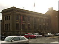
Clydebank Library
On Dumbarton Road, next to the Town Hall.
Image: © Stephen Sweeney
Taken: 28 Jun 2007
0.04 miles
4
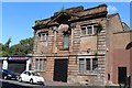
Former Oasis Nightclub, Dumbarton Road, Clydebank
Building dated 1924
Image: © Leslie Barrie
Taken: 23 Aug 2014
0.04 miles
5
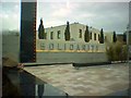
Solidarity Plaza
Commemorates the links between Polish and Scottish shipbuilding
Image: © Darrin Antrobus
Taken: 15 Mar 2005
0.05 miles
6
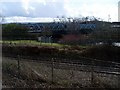
Railway lines, used and disused
The line in the foreground is part of the Clydebank line, which still runs today. The blue bridge over Dumbarton Road in the background carries part of the Glasgow, Yoker and Clydebank railway, which has been out of use since the 1960s, but still remains.
Image: © Stephen Sweeney
Taken: 30 Mar 2008
0.05 miles
7
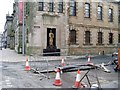
Town Hall war memorial
Like many war memorials, originally in memory of those who died in the Great War (see stone markings above the statue), and updated after World War II for the memory of those who lost their lives then too.
Image: © Stephen Sweeney
Taken: 27 Jan 2008
0.06 miles
8
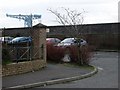
The former shipyard walls
The wall here once divided the residential area from the John Brown's shipyard. The yard is now gone, and the Titan Crane, in the picture, is all that remains, other than these walls.
Image: © Stephen Sweeney
Taken: 27 Jan 2008
0.06 miles
9
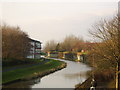
Forth and Clyde Canal from Kilbowie Road
The westward view along the canal, in Clydebank town centre.
Image: © Stephen Sweeney
Taken: 21 Dec 2006
0.06 miles
10
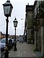
Ornate lampposts on Dumbarton Road
Outside Clydebank Town Hall.
Image: © Stephen Sweeney
Taken: 27 Jan 2008
0.06 miles