IMAGES TAKEN NEAR TO
Mey Place, GLASGOW, G77 6WU
Introduction
This page details the photographs taken nearby to Mey Place, G77 6WU by members of the Geograph project.
The Geograph project started in 2005 with the aim of publishing, organising and preserving representative images for every square kilometre of Great Britain, Ireland and the Isle of Man.

There are currently over 7.5m images from over14,400 individuals and you can help contribute to the project by visiting https://www.geograph.org.uk
Image Map
Images are licensed for reuse under creativecommons.org/licenses/by-sa/2.0
Notes
- Clicking on the map will re-center to the selected point.
- The higher the marker number, the further away the image location is from the centre of the postcode.
Image Listing (12 Images Found)
Images are licensed for reuse under creativecommons.org/licenses/by-sa/2.0
Image
Details
Distance
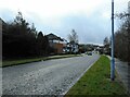
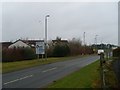
1
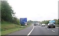
Warning sign for junction 5 -1 mile ahead
Image: © John Firth
Taken: 15 May 2014
0.08 miles
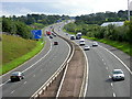
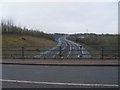
3
Motorway traffic
Looking south along the M77 near Newton Mearns.
Image: © James Allan
Taken: 1 Jun 2012
0.16 miles
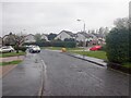
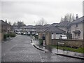
5

Lochinch Place
Residential cul-de-sac in the south of Newton Mearns.
Image: © Alec MacKinnon
Taken: 9 Feb 2023
0.18 miles
7
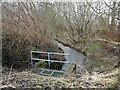
Capelrig Burn
About to enter a culvert and flow under Westacres Road.
Image: © Richard Sutcliffe
Taken: 15 Feb 2023
0.20 miles
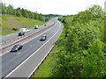
8
The M77 heads south
As seen from Aurs Road.
Image: © Stephen Sweeney
Taken: 24 Mar 2010
0.21 miles
9
Manderston Meadow
Infill between Newton Mearns and the M77.
Image: © Richard Webb
Taken: 27 Apr 2021
0.21 miles
10
Approaching Westacres Roundabout
In Newton Mearns, by the M77.
Image: © Stephen Sweeney
Taken: 24 Mar 2010
0.23 miles