
IMAGES TAKEN NEAR TO
Macdonald Avenue, GLASGOW, G74 4SN
Introduction
This page details the photographs taken nearby to Macdonald Avenue, G74 4SN by members of the Geograph project.
The Geograph project started in 2005 with the aim of publishing, organising and preserving representative images for every square kilometre of Great Britain, Ireland and the Isle of Man.

There are currently over 7.5m images from over14,400 individuals and you can help contribute to the project by visiting https://www.geograph.org.uk
Image Map
Images are licensed for reuse under creativecommons.org/licenses/by-sa/2.0
Notes
- Clicking on the map will re-center to the selected point.
- The higher the marker number, the further away the image location is from the centre of the postcode.
Image Listing (17 Images Found)
Images are licensed for reuse under creativecommons.org/licenses/by-sa/2.0
Image
Details
Distance
1

McEwan Gardens, East Kilbride
In the Kittochglen area of the town.
Image: © Stephen Sweeney
Taken: 26 Jan 2010
0.05 miles
2
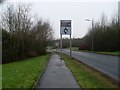
Signpost for the National Museum of Rural Life
By Stewartfield Way in the north of East Kilbride.
Image: © Stephen Sweeney
Taken: 26 Jan 2010
0.11 miles
3
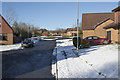
More modern housing
Another modern housing estate with mainly detached houses and an interesting pattern of roads.
Image: © Malcolm Neal
Taken: 2 Feb 2019
0.13 miles
4
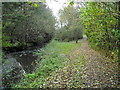
Path Beside Kittoch Water
A bit of nature squeezed between Kittochglen housing estate and College Milton Industrial Estate
Image: © Iain Thompson
Taken: 31 Oct 2008
0.18 miles
5
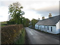
White Cottage in Kittochside
Looking east along Kittochside Road towards the junction where Cairnmuir Road branches off to the left and Carmunnock Road continues straight ahead.
Image: © G Laird
Taken: 29 Oct 2013
0.20 miles
6
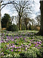
Spring flowers
Spring flowers in woodland at Kittochside on the outskirts of East Kilbride.
Image: © Dannie Calder
Taken: 15 Mar 2003
0.21 miles
7
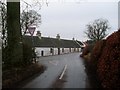
Main road junction in Kittochside
Cairmnuir Road meets Carmunnock Road.
Image: © Stephen Sweeney
Taken: 26 Jan 2010
0.21 miles
8
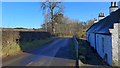
Road junction and housing at Kittochside
This small group of houses is named "Eastend" in the 1925 1" OS map.
Image: © Gordon Brown
Taken: 14 Nov 2019
0.22 miles
9
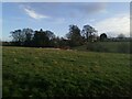
Kittochside fields
Viewed from the minor road to the north, these fields and the houses among the trees lie at the east end of Kittochside village.
Image: © Alec MacKinnon
Taken: 3 Nov 2020
0.22 miles
10
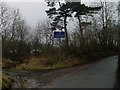
Welcome to Kittochside
Sign on approach to the village from the east.
Image: © Stephen Sweeney
Taken: 26 Jan 2010
0.22 miles