
IMAGES TAKEN NEAR TO
Magnolia Drive, GLASGOW, G72 7NP
Introduction
This page details the photographs taken nearby to Magnolia Drive, G72 7NP by members of the Geograph project.
The Geograph project started in 2005 with the aim of publishing, organising and preserving representative images for every square kilometre of Great Britain, Ireland and the Isle of Man.

There are currently over 7.5m images from over14,400 individuals and you can help contribute to the project by visiting https://www.geograph.org.uk
Image Map
Images are licensed for reuse under creativecommons.org/licenses/by-sa/2.0
Notes
- Clicking on the map will re-center to the selected point.
- The higher the marker number, the further away the image location is from the centre of the postcode.
Image Listing (8 Images Found)
Images are licensed for reuse under creativecommons.org/licenses/by-sa/2.0
Image
Details
Distance
1
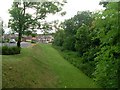
Pathway by Magnolia Terrace
It looks like it follows a former railway line, but I could see no such line on the historical OS maps.
Image: © Stephen Sweeney
Taken: 17 Jun 2009
0.07 miles
2

Footpath in Drumsargad
Drumsagard Village is a new construction established after the closure of the nearby Hallside Steelworks in 1979 and is built around the site of Drumsagard Castle. The footpath is separated by bushes from Hallside Boulevard, the main road through the development.
Image: © wrobison
Taken: 18 Jun 2022
0.13 miles
3
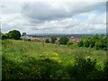
Hallside and view across Glasgow
From Manse Brae.
Image: © Stephen Sweeney
Taken: 17 Jun 2009
0.14 miles
4
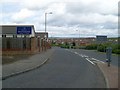
Road into Drumsagard
A very Scottish name for this housing area east of Cambuslang.
Image: © Stephen Sweeney
Taken: 17 Jun 2009
0.16 miles
5

Small Shopping Centre just outside Halfway
At the junction of Hamilton Road and Hallside Boulevard.
Image: © G Laird
Taken: 17 Jan 2010
0.20 miles
6
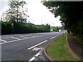
Hamilton Road
From the junction with Manse Brae.
Image: © Stephen Sweeney
Taken: 17 Jun 2009
0.20 miles
8
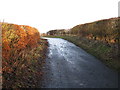
Manse Brae, north of Dalton
I have uploaded larger versions of the picture to show one of the main points of the photograph, the unusually placed trig point to the right at the point where the lane bears to the left. Manse Brae can now only be travelled on foot.
Image: © G Laird
Taken: 17 Jan 2010
0.24 miles